St Mary's Catholic Church, Melbourne
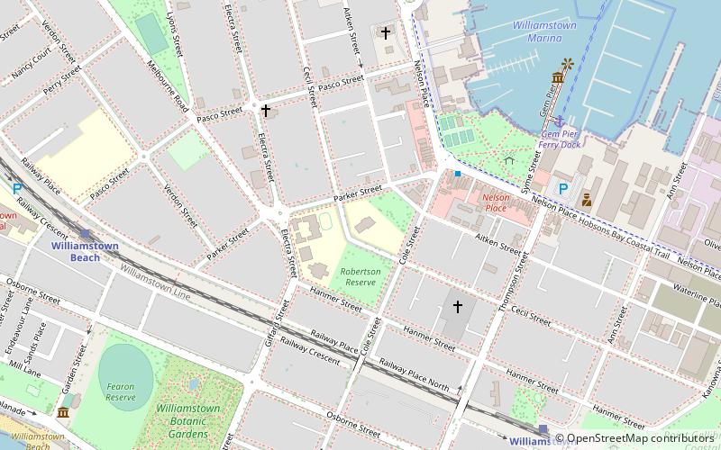
Map

Map

Facts and practical information
St Mary's Catholic Church is located in Melbourne's first seaport of Williamstown, Melbourne, Australia. Originally constructed in the early 19th century, St Mary's was only the second Catholic Church to be constructed in the Port Phillip District of New South Wales, after St. Francis Catholic Church, in Melbourne. ()
Architectural style: Gothic revivalCoordinates: 37°51'50"S, 144°54'4"E
Address
St Marys Primary School School 116 Cecil StHobsons Bay (Williamstown)Melbourne 3016
Contact
+61 3 9397 6066
Social media
Add
Day trips
St Mary's Catholic Church – popular in the area (distance from the attraction)
Nearby attractions include: Newport Railway Museum, Melbourne/Hobsons Bay, Port of Melbourne, Steamrail Victoria.
Frequently Asked Questions (FAQ)
Which popular attractions are close to St Mary's Catholic Church?
Nearby attractions include Gem Pier, Melbourne (9 min walk), HMAS Castlemaine, Melbourne (9 min walk), Williamstown Town Hall, Melbourne (12 min walk), Fort Gellibrand, Melbourne (13 min walk).
How to get to St Mary's Catholic Church by public transport?
The nearest stations to St Mary's Catholic Church:
Train
Bus
Train
- Williamstown (10 min walk)
- Williamstown Beach (10 min walk)
Bus
- Williamstown (20 min walk)

 Melbourne Trams
 Victoria Trains


