Melbourne/Manningham and Nillumbik, Melbourne

Gallery (4)
Map

Map
Gallery
Facts and practical information
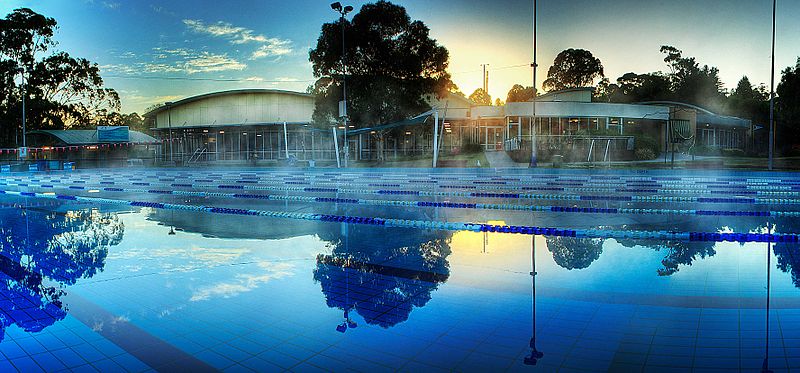
The City of Manningham is a local government area in Victoria, Australia in the north-eastern suburbs of Melbourne and is divided into 12 suburbs, with the largest being Doncaster and Doncaster East. It comprises an area of 113 square kilometres and had a population of 125,508 in June 2018. ()
Getting there by public transportation
Public transportation stops near this location
- Bus
- Train
 Bus
Bus
- Calculate routePleasant Avenue 3 min walk
- Calculate routeWhittens Lane 3 min walk
- Calculate routeThiele Street 3 min walk
- Calculate routeManningham Civic Centre 3 min walk
- Calculate routeBox Hill Miniature Railway 33 min walk
Maps Melbourne TramsMaps
 Victoria Trains
Melbourne TramsMapsVictoria TrainsDay trips


Frequently Asked Questions (FAQ)
How to get to Melbourne/Manningham and Nillumbik by public transport?
The nearest stations to Melbourne/Manningham and Nillumbik:
Bus
Train
Bus
- Pleasant Avenue • Lines: 280, 295, 902, 907 (3 min walk)
- Whittens Lane • Lines: 280, 295, 902, 907 (3 min walk)
Train
- Box Hill Miniature Railway (33 min walk)