Clark Island, Sydney
Map
Map

Facts and practical information
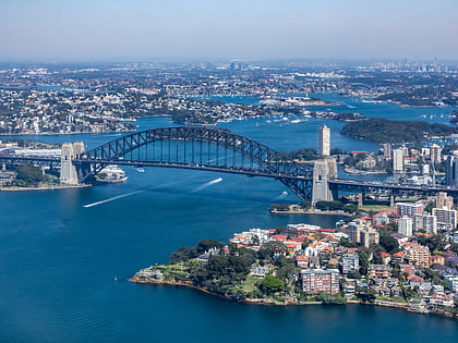
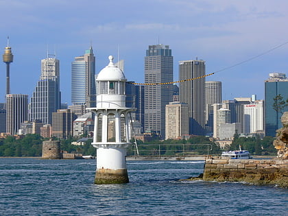
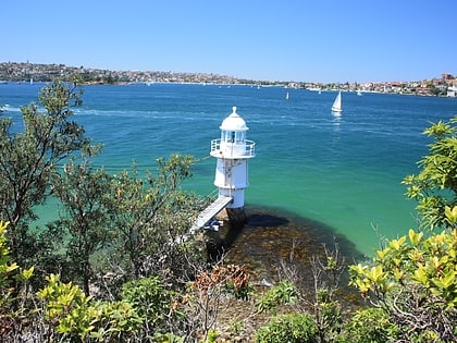
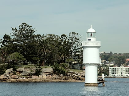
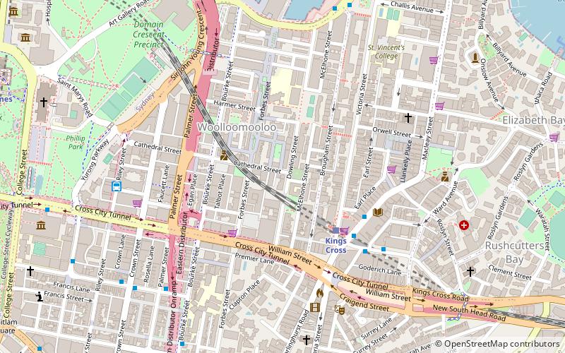
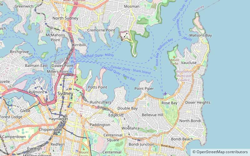
Clark Island is a small island in Sydney Harbour, near the coast of New South Wales, Australia. The island is part of the Sydney Harbour National Park and lies offshore the Sydney suburb of Darling Point, in the eastern part of Sydney Harbour between the Harbour Bridge and the harbour entrance. ()
Address
Sydney
ContactAdd
Social media
Add
Day trips
Clark Island – popular in the area (distance from the attraction)
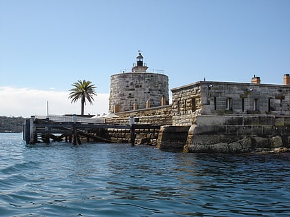
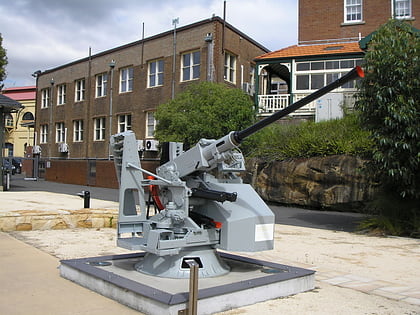
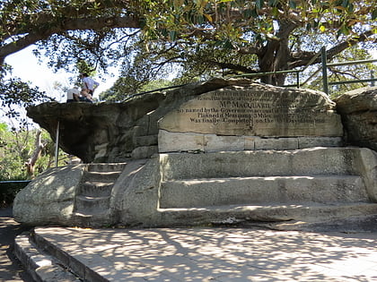
Nearby attractions include: Andrew Charlton Pool, Fort Denison, Royal Australian Navy Heritage Centre, Mrs Macquarie's Chair.
Frequently Asked Questions (FAQ)
Which popular attractions are close to Clark Island?
Nearby attractions include Lindesay, Sydney (9 min walk), Carthona, Sydney (11 min walk), Swifts, Sydney (13 min walk), Wolseley Road, Sydney (14 min walk).
How to get to Clark Island by public transport?
The nearest stations to Clark Island:
Ferry
Bus
Train
Ferry
- Darling Point • Lines: F7 (7 min walk)
- Double Bay Wharf • Lines: F7 (19 min walk)
Bus
- Andrew Boy Charlton Pool (29 min walk)
- Edgecliff Station, Stand K • Lines: 200 (30 min walk)
Train
- Edgecliff (30 min walk)
- Kings Cross (35 min walk)

 Sydney Trains
 Sydney Light Rail
 Sydney Ferries
