Cumberland State Forest, Sydney
Map

Map

Facts and practical information
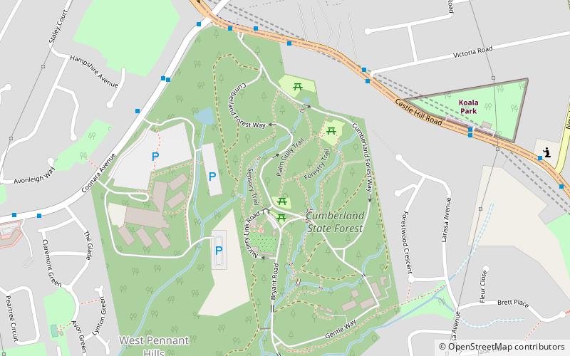
Cumberland State Forest is a forest in the Australian state of New South Wales. It is located in West Pennant Hills, Sydney. It contains 40 hectares of native forest. The original land was privately owned and was cleared in 1908. In 1938 its management was taken over by the then NSW Forestry Commission, and one third of the land was planted as an arboretum while the rest was allowed to regenerate naturally. What is seen today is more than 50 years of forest growth. ()
Elevation: 492 ft a.s.l.Coordinates: 33°44'37"S, 151°2'20"E
Address
95 Old Castle Hill RdBaulkham Hills (West Pennant Hills)Sydney 2154
Contact
+61 1300 655 687
Social media
Add
Day trips
Cumberland State Forest – popular in the area (distance from the attraction)
Nearby attractions include: Castle Towers, Lake Parramatta, Balaka Falls, Carlingford Court.
Frequently Asked Questions (FAQ)
When is Cumberland State Forest open?
Cumberland State Forest is open:
- Monday 9:30 am - 4:30 pm
- Tuesday 9:30 am - 4:30 pm
- Wednesday 9:30 am - 4:30 pm
- Thursday 9:30 am - 4:30 pm
- Friday 9:30 am - 4:30 pm
- Saturday 9:30 am - 4:30 pm
- Sunday 9:30 am - 4:30 pm
How to get to Cumberland State Forest by public transport?
The nearest stations to Cumberland State Forest:
Bus
Metro
Bus
- Castle Hill Rd opp Victoria Rd • Lines: 633 (6 min walk)
Metro
- Cherrybrook • Lines: Sydney Metro Northwest (16 min walk)

 Sydney Trains
 Sydney Light Rail
 Sydney Ferries


