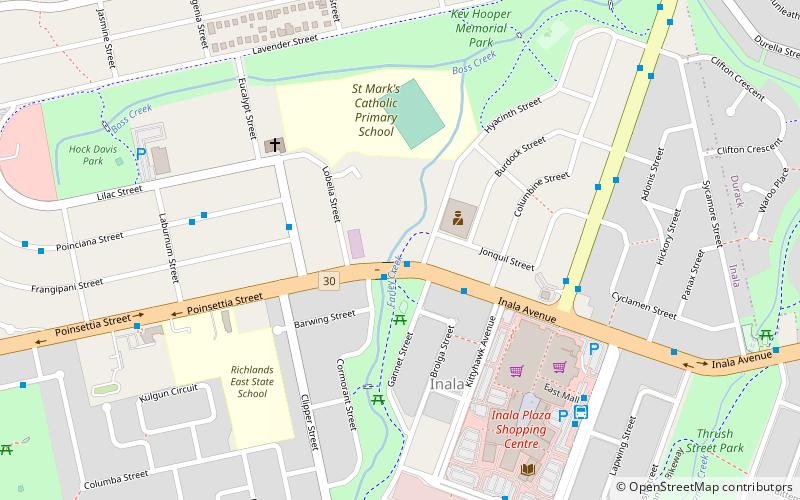
Inala, Brisbane

Gallery (2)
Map
Map
Gallery
Facts and practical information
Inala is a suburb in the City of Brisbane, Queensland, Australia. In the 2016 census, Inala had a population of 14,849 people. ()
Address
InalaBrisbane
ContactAdd
Social media
Add
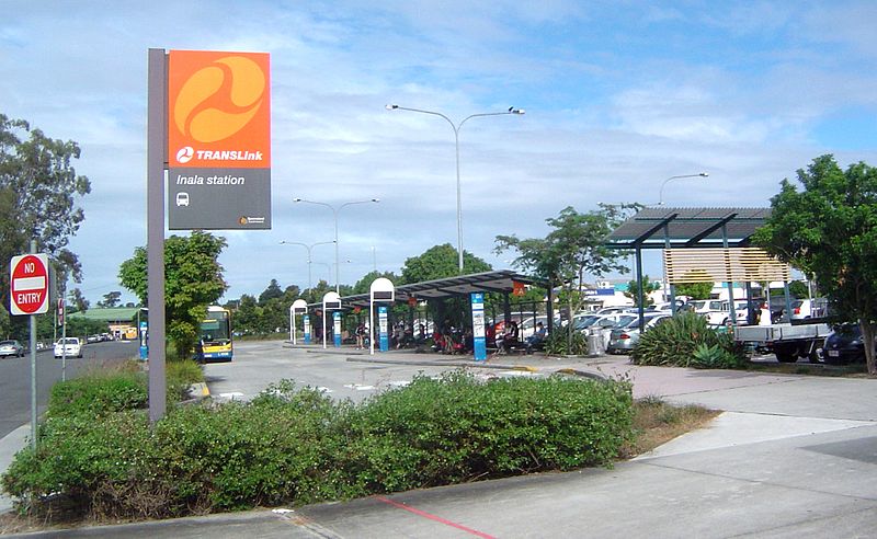
Getting there by public transportation
Public transportation stops near this location
- Bus
 Bus
Bus
- Calculate routeServiceton Avenue at Inala Avenue, stop 79 6 min walk
- Calculate routeInala, platform B 8 min walk
Day trips


Frequently Asked Questions (FAQ)
How to get to Inala by public transport?
The nearest stations to Inala:
Bus
Bus
- Serviceton Avenue at Inala Avenue, stop 79 • Lines: 100, N100 (6 min walk)
- Inala, platform B • Lines: 100 (8 min walk)