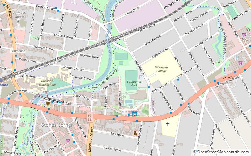
Langlands Park, Brisbane

Map
Facts and practical information
Coordinates: 27°29'47"S, 153°2'56"E
Address
GreenslopesBrisbane
ContactAdd
Social media
Add
Day trips
Langlands Park – popular in the area (distance from the attraction)
Nearby attractions include: The Gabba, Riverstage, Mowbray Park, Holy Trinity Anglican Church.
Frequently Asked Questions (FAQ)
Which popular attractions are close to Langlands Park?
Nearby attractions include Greenslopes, Brisbane (16 min walk), Coorparoo School of Arts and RSL Memorial Hall, Brisbane (18 min walk), St Paul's Anglican Church, Brisbane (20 min walk), Giffin Park, Brisbane (24 min walk).
How to get to Langlands Park by public transport?
The nearest stations to Langlands Park:
Bus
Train
Bus
- Langlands Park (4 min walk)
- Langlands Park station, platform 2 • Lines: 61 (4 min walk)
Train
- Buranda (14 min walk)
- Coorparoo (16 min walk)


