State Theatre, Melbourne
Map
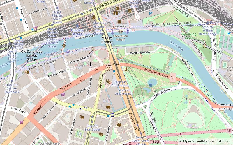
Map

Facts and practical information
The State Theatre opened in 1984 and is part of the Arts Centre Melbourne located by the Yarra River and St Kilda Road. Like the other performance venues within the Arts Centre, the State Theatre is underground. It has over 2,000 seats and its stage is one of the largest in the world. ()
Day trips
State Theatre – popular in the area (distance from the attraction)
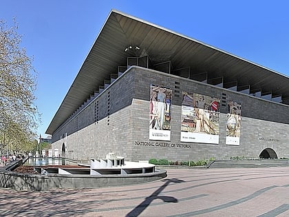
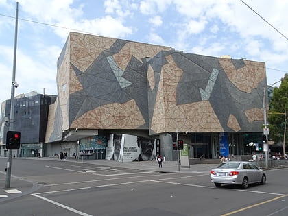
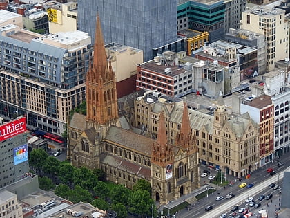
Nearby attractions include: National Gallery of Victoria, ACMI, Federation Square, St Paul's Cathedral.
Frequently Asked Questions (FAQ)
Which popular attractions are close to State Theatre?
Nearby attractions include St Kilda Road, Melbourne (2 min walk), Arts Centre Melbourne, Melbourne (2 min walk), Melbourne Arts Precinct, Melbourne (2 min walk), Performing Arts Collection, Melbourne (3 min walk).
How to get to State Theatre by public transport?
The nearest stations to State Theatre:
Bus
Tram
Train
Bus
- Arts Centre • Lines: 109 (1 min walk)
- Victorian College of the Arts/Southbank Boulevard • Lines: 605 (5 min walk)
Tram
- Stop 14: Arts Precinct • Lines: 1, 16, 16d, 3, 3a, 5, 6, 64, 64d, 67, 67d, 6d, 72 (2 min walk)
- Stop 17: Southbank Boulevard • Lines: 1 (6 min walk)
Train
- Flinders Street (7 min walk)
- Parliament (19 min walk)

 Melbourne Trams
 Victoria Trains