Melbourne/Inner south, Melbourne
Map
Gallery
Facts and practical information
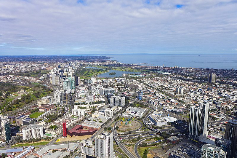
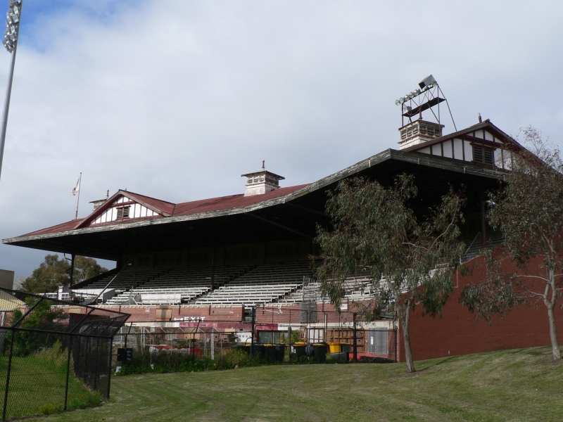
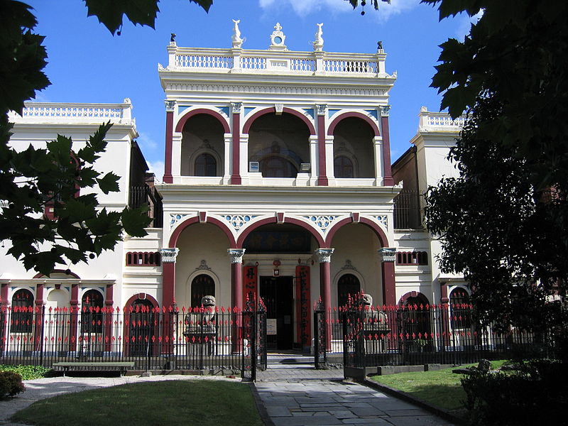
South Melbourne is an inner suburb of Melbourne, Australia, 3 km south of Melbourne's Central Business District. It is in the local government area of the City of Port Phillip. At the 2016 census, South Melbourne had a population of 10,920. ()
Coordinates: 37°50'6"S, 144°57'36"E
Address
Port Phillip (South Melbourne)Melbourne
ContactAdd
Social media
Add
Day trips
Melbourne/Inner south – popular in the area (distance from the attraction)
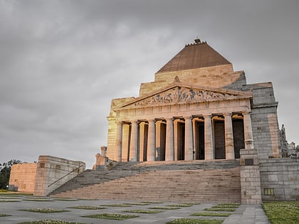
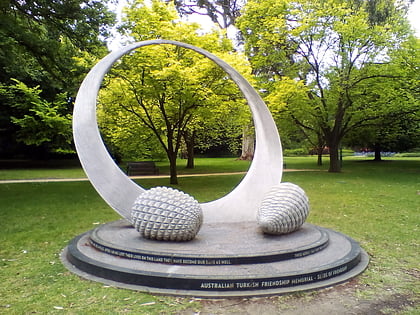
Nearby attractions include: Shrine of Remembrance, DFO South Wharf, Australian Turkish Friendship Memorial, Crown Melbourne.
Frequently Asked Questions (FAQ)
Which popular attractions are close to Melbourne/Inner south?
Nearby attractions include South Melbourne Town Hall, Melbourne (1 min walk), The Butterfly Club, Melbourne (2 min walk), South Melbourne Market, Melbourne (8 min walk), St Vincent Gardens, Melbourne (10 min walk).
How to get to Melbourne/Inner south by public transport?
The nearest stations to Melbourne/Inner south:
Tram
Bus
Train
Tram
- Stop 24: Clarendon Street • Lines: 1 (3 min walk)
- Stop 129: Park Street • Lines: 12, 12d (3 min walk)
Bus
- South Melbourne Market • Lines: 236 (6 min walk)
- Ferrars Street • Lines: 234 (11 min walk)
Train
- Southern Cross (32 min walk)
- Flinders Street (32 min walk)



 Melbourne Trams
 Victoria Trains