Metropolitan Golf Club, Melbourne
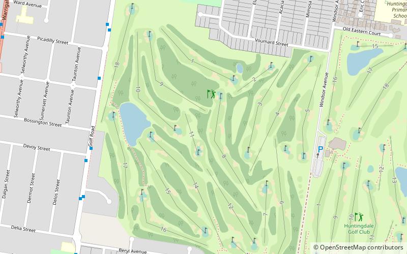
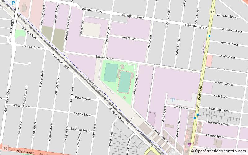
Map
Facts and practical information
The Metropolitan Golf Club is one of the renowned sandbelt courses of Melbourne and is widely recognised as one of the finest championship courses in Australia. It is located in Oakleigh South, in the city's south-eastern suburbs, approximately twenty minutes' drive from the CBD. ()
Established: 1908 (118 years ago)Coordinates: 37°55'0"S, 145°5'35"E
Getting there by public transportation
Public transportation stops near this location
- Bus
- Train
 Bus
Bus
- Calculate routeBeryl Avenue 11 min walk
- Calculate routeFarm Road 16 min walk
- Calculate routeHuntingdale Station 18 min walk
- Calculate routeWarrigul Road 21 min walk
- Calculate routeHuntingdale 17 min walk
- Calculate routeOakleigh 30 min walk
Maps Melbourne TramsMaps
 Victoria Trains
Melbourne TramsMapsVictoria TrainsDay trips


Frequently Asked Questions (FAQ)
How to get to Metropolitan Golf Club by public transport?
The nearest stations to Metropolitan Golf Club:
Bus
Train
Bus
- Beryl Avenue • Lines: 733 (11 min walk)
- Farm Road • Lines: 703 (16 min walk)
Train
- Huntingdale (17 min walk)
- Oakleigh (30 min walk)