Warrigal Road, Melbourne

Map
Facts and practical information
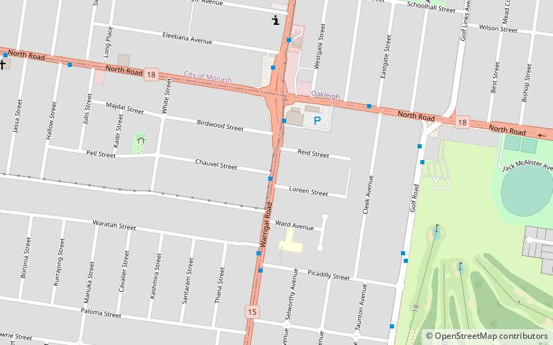
Warrigal Road is a major inner urban road in southeastern Melbourne, Australia. On weekdays, it is heavily trafficked as it runs through many major suburbs along its route, traversing some of Melbourne's eastern and south-eastern suburbs. These include suburbs Chadstone, Oakleigh, and Cheltenham. The Chadstone Shopping Centre can be accessed directly from Warrigal Road at its eastern entrance. ()
Coordinates: 37°54'41"S, 145°5'6"E
Address
Monash (Oakleigh South)Melbourne
ContactAdd
Social media
Add
Day trips
Warrigal Road – popular in the area (distance from the attraction)
Nearby attractions include: Metropolitan Golf Club, Oakleigh Central, Sacred Heart Girls' College building, Olympic Ice Skating Centre.
Frequently Asked Questions (FAQ)
How to get to Warrigal Road by public transport?
The nearest stations to Warrigal Road:
Bus
Train
Bus
- Beryl Avenue • Lines: 733 (18 min walk)
- Oakleigh Station • Lines: 693, 742, 802, 804, 862, 900, 903, Bus 903 (21 min walk)
Train
- Oakleigh (20 min walk)
- Huntingdale (24 min walk)
 Melbourne Trams
 Victoria Trains


