Lane Cove Bushland Park, Sydney
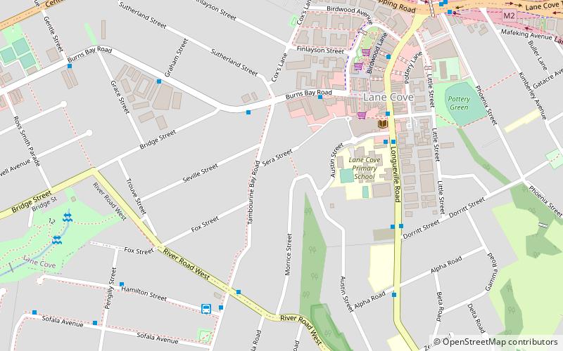
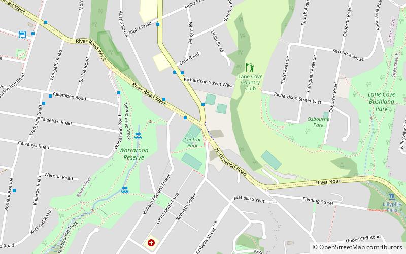
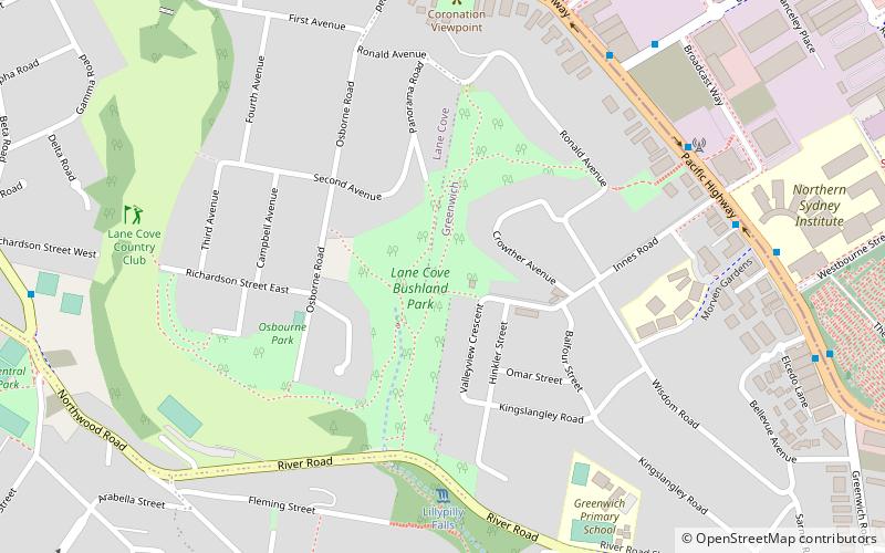
Map
Gallery
Facts and practical information
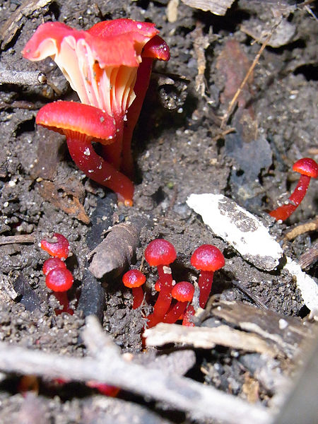
Lane Cove Bushland Park is located in suburban Lane Cove, 5 kilometres from the centre of Sydney, Australia. It is regarded as one of the more interesting areas of fungi in the country. In the year 2000, Bushland Park was placed on the Register of the National Estate, under the Australian Heritage Commission Act, 1975. Average annual rainfall is 1220 mm. Soils are moderately fertile, based on Hawkesbury sandstone and Ashfield Shale. The climate is warm and humid. ()
Elevation: 157 ft a.s.l.Coordinates: 33°49'20"S, 151°10'48"E
Address
Lane CoveSydney
ContactAdd
Social media
Add
Day trips
Lane Cove Bushland Park – popular in the area (distance from the attraction)
Nearby attractions include: Gore Hill Cemetery, Naremburn Cammeray Anglican Church, Chatswood South Uniting Church, Gore Creek.
Frequently Asked Questions (FAQ)
Which popular attractions are close to Lane Cove Bushland Park?
Nearby attractions include Blaxlands Corner, Upper North Shore (12 min walk), Gore Hill Cemetery, Sydney (14 min walk), Gore Hill, Sydney (15 min walk), Gore Hill Freeway, Sydney (17 min walk).
How to get to Lane Cove Bushland Park by public transport?
The nearest stations to Lane Cove Bushland Park:
Bus
Ferry
Train
Bus
- Dickson Ave • Lines: 200, 290 (9 min walk)
- North Sydney College TAFE - Westbourne St • Lines: 200 (10 min walk)
Ferry
- Northwood Wharf (19 min walk)
- Greenwich Wharf (22 min walk)
Train
- St Leonards (21 min walk)
- Wollstonecraft (24 min walk)

 Sydney Trains
 Sydney Light Rail
 Sydney Ferries


