Worimi conservation lands

Map
Facts and practical information
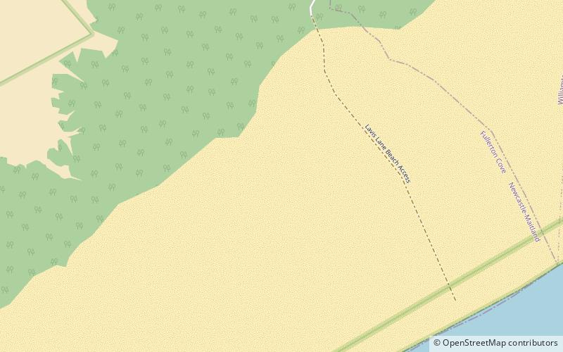
The Worimi conservation lands are located on and adjacent to Stockton Beach in New South Wales, Australia. They were created in February 2007 when Crown land at Stockton Bight was granted to the Worimi Local Aboriginal Land Council. The lands were then leased back to the NSW Government as three conservation reserves covering an area of 4,436 ha. Day-to-day management of the Worimi conservation lands is undertaken by the NSW National Parks and Wildlife Service. ()
Elevation: 20 ft a.s.l.Coordinates: 32°50'21"S, 151°52'12"E
Location
New South Wales
ContactAdd
Social media
Add
Day trips
Worimi conservation lands – popular in the area (distance from the attraction)
Nearby attractions include: Nobbys Head Light, Fighter World, Stockton Beach, Hunter River.


