Hunter River, Newcastle


Facts and practical information
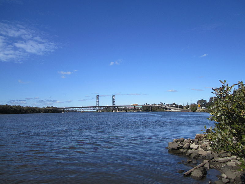
The Hunter River, a vital waterway winding through the heart of Newcastle, Australia, is both a scenic marvel and an economic powerhouse for the region. Originating in the Liverpool Range and traveling approximately 468 kilometers before reaching the Tasman Sea, the river is a central thread in the tapestry of New South Wales' landscape.
Characterized by its rich estuarine ecosystem, the Hunter River is bordered by fertile vineyards, pristine national parks, and industrial hubs, illustrating the diverse roles it plays. As it approaches the city of Newcastle, the river becomes a bustling artery for coal exports, with the port facilities showcasing the region's robust mining heritage.
The river's banks offer a picturesque setting for leisure activities. Locals and tourists alike can be found enjoying riverside picnics, engaging in water sports, or embarking on boat tours that provide a unique perspective of Newcastle's blend of natural beauty and urban development.
Conservation efforts are in place to maintain the health of the river's ecosystem, ensuring that the Hunter River continues to support the wildlife and communities that depend on it. These initiatives also aim to preserve the river's historical significance, as it has been an essential route for transportation and trade since the early days of European settlement.
Newcastle
Hunter River – popular in the area (distance from the attraction)
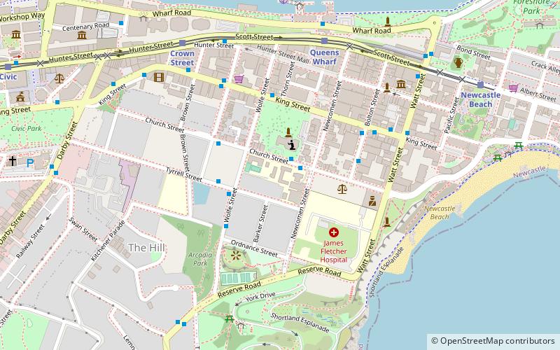
Nearby attractions include: Argyle House, Bogey Hole, Fort Scratchley, Convict Lumber Yard.
Frequently Asked Questions (FAQ)
Which popular attractions are close to Hunter River?
How to get to Hunter River by public transport?
Bus
- Customs House, Watt Street • Lines: 11, 13, 14 (15 min walk)
- Watt St opp Customs House • Lines: 11, 13, 14 (15 min walk)
Light rail
- Newcastle Beach • Lines: L (15 min walk)
- Queens Wharf • Lines: L (17 min walk)
Ferry
- Newcastle Wharf • Lines: Newcastle - Stockton Ferry (18 min walk)


