62-64 Argyle Place, Sydney
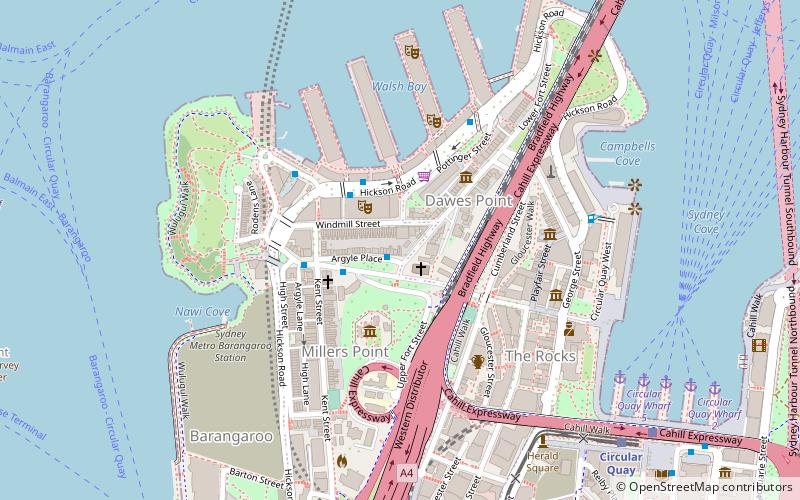
Map

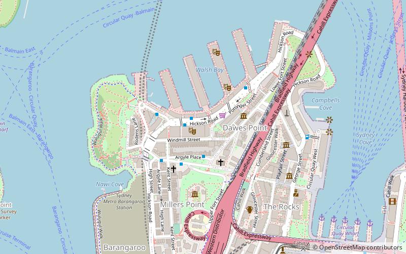
Map

Facts and practical information
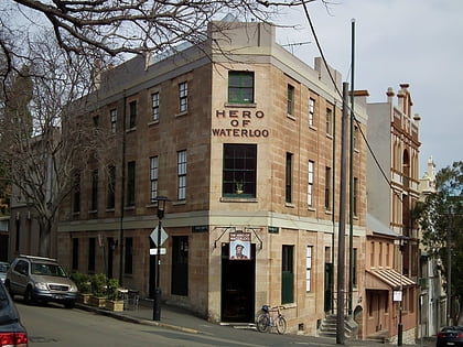
62-64 Argyle Place, Millers Point is a heritage-listed row of two terrace houses located at 62-64 Argyle Place, in the inner city Sydney suburb of Millers Point in the City of Sydney local government area of New South Wales, Australia. The property was added to the New South Wales State Heritage Register on 2 April 1999. ()
Coordinates: 33°51'29"S, 151°12'19"E
Address
Central Business District (Miller's Point)Sydney
ContactAdd
Social media
Add
Day trips
62-64 Argyle Place – popular in the area (distance from the attraction)
Nearby attractions include: Glenmore Hotel, Garrison Church, Lord Nelson Brewery Hotel, 14-22 Trinity Avenue.
Frequently Asked Questions (FAQ)
Which popular attractions are close to 62-64 Argyle Place?
Nearby attractions include Undercliffe Terrace, Sydney (1 min walk), 67 Windmill Street, Sydney (1 min walk), 65 Windmill Street, Sydney (1 min walk), 69 Windmill Street, Sydney (1 min walk).
How to get to 62-64 Argyle Place by public transport?
The nearest stations to 62-64 Argyle Place:
Ferry
Light rail
Train
Bus
Ferry
- Circular Quay Wharf 5 • Lines: F3, F4 (9 min walk)
- Circular Quay Wharf 4 • Lines: F5, F6 (10 min walk)
Light rail
- Circular Quay • Lines: L2, L3 (10 min walk)
- Bridge Street • Lines: L2, L3 (12 min walk)
Train
- Circular Quay (10 min walk)
- Wynyard (14 min walk)
Bus
- Lang Park • Lines: 290 (11 min walk)
- Stand A, Circular Quay, Alfred Street • Lines: 302, 303, 326 (12 min walk)

 Sydney Trains
 Sydney Light Rail
 Sydney Ferries


