St Saviour's Anglican Church
Map

Map

Facts and practical information
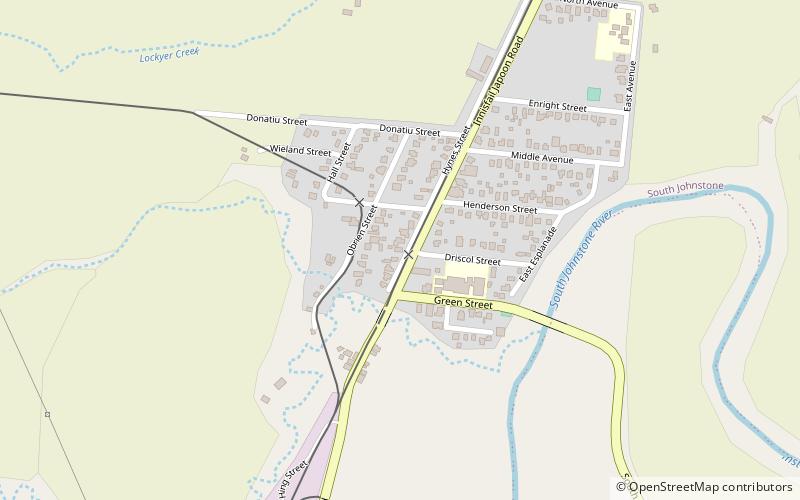
St Saviour's Anglican Church is a heritage-listed former church building at 26 Hynes Street, South Johnstone, Cassowary Coast Region, Queensland, Australia. It was built from 1938 to 1939 by Mose Romano. It was added to the Queensland Heritage Register on 24 September 2004. ()
Coordinates: 17°35'52"S, 145°59'42"E
Location
Queensland
ContactAdd
Social media
Add
Day trips
St Saviour's Anglican Church – popular in the area (distance from the attraction)
Nearby attractions include: Paronella Park, Innisfail Water Tower, Coquette Point, Innisfail Court House.


