Coquette Point, Innisfail
#2 among attractions in Innisfail

Facts and practical information
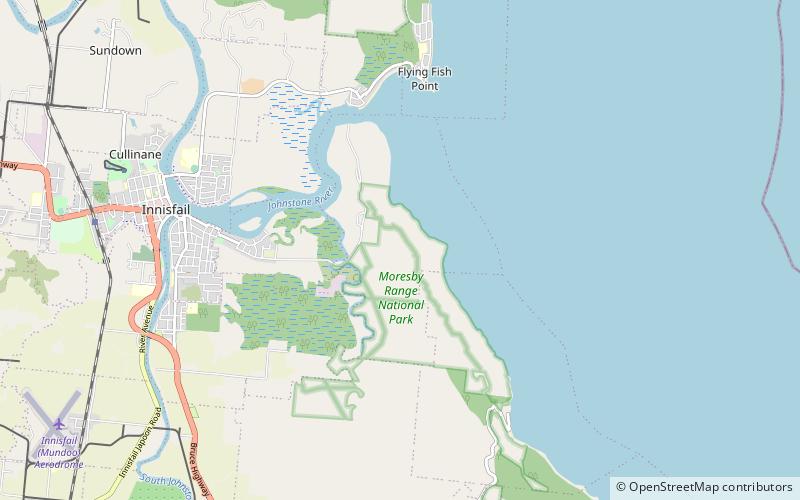
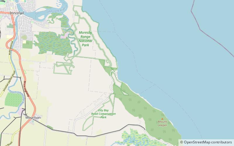
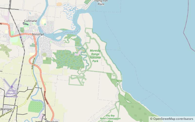
Coquette Point is a coastal locality in the Cassowary Coast Region, Queensland, Australia. In the 2016 census, Coquette Point had a population of 74 people. ()
Innisfail Australia
Coquette Point – popular in the area (distance from the attraction)
Nearby attractions include: Innisfail Water Tower, Etty Bay, Innisfail Court House, Canecutters Memorial.
 Tower
TowerInnisfail Water Tower, Innisfail
62 min walk • Innisfail Water Tower is a heritage-listed water tower at Mourilyan Street, East Innisfail, Cassowary Coast Region, Queensland, Australia. It was built from 1933 to 1934 by Van Leeuwen Brothers. It was added to the Queensland Heritage Register on 6 August 2010.
 Campsite
Etty Bay, Innisfail
57 min walk • Etty Bay is a relatively sheltered bay in Far North Queensland with a 700 metres long beach in the far north of the Australian state of Queensland. The beach is 15 kilometres by road from the township of Innisfail, 20 minutes drive from Paronella Park and 7 kilometres from the Bruce Highway.
 Historical place, Sacred and religious sites, Church
Innisfail Court House, Innisfail
69 min walk • Innisfail Court House is a heritage-listed court house at 10 Edith Street, Innisfail, Cassowary Coast Region, Queensland, Australia. It is the town’s third court house. It was designed in the inter-war classical style by the Department of Public Works and built in 1939 by day labour.
 Memorial
Canecutters Memorial, Innisfail
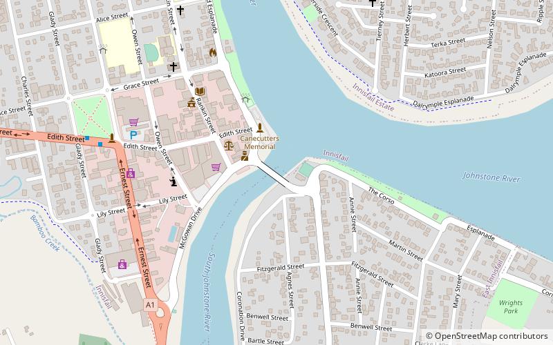
66 min walk • Canecutters Memorial is a heritage-listed memorial at Fitzgerald Esplanade, Innisfail, Cassowary Coast Region, Queensland, Australia. It was designed by Renato Beretta and built in 1959. It is also known as Pioneers of the Sugar Industry Monument. It was added to the Queensland Heritage Register on 29 April 2003.
 Church, Memorial
St Andrew's Presbyterian Memorial Church, Innisfail
74 min walk • St Andrew's Presbyterian Memorial Church is a heritage-listed former church at 114 Rankin Street, Innisfail, Cassowary Coast Region, Queensland, Australia. It was designed by Eddie Oribin and built in 1961 by Andrew George Pepper. It is also known as St Andrew's Presbyterian Church.
 Bridge
Jubilee Bridge, Innisfail
66 min walk • The Jubilee Bridge spans the South Johnstone River connecting Innisfail and East Innisfail, Queensland, Australia. The bridge was constructed in 2011, replacing an earlier bridge built in 1923 which marked the 50th anniversary of the establishment of Innisfail.
 National park
Moresby Range National Park
21 min walk • Moresby Range is a national park in Far North Queensland, Australia, 1,314 km northwest of Brisbane. It is part of the Coastal Wet Tropics Important Bird Area, identified as such by BirdLife International because of its importance for the conservation of lowland tropical rainforest birds.
 Church
St Saviour's Anglican Church
175 min walk • St Saviour's Anglican Church is a heritage-listed former church building at 26 Hynes Street, South Johnstone, Cassowary Coast Region, Queensland, Australia. It was built from 1938 to 1939 by Mose Romano. It was added to the Queensland Heritage Register on 24 September 2004.
 City hall
Cassowary Coast Regional Council, Innisfail
71 min walk • Johnstone Shire Hall is a heritage-listed town hall at 70 Rankin Street, Innisfail, Cassowary Coast Region, Queensland, Australia. It was designed by Hill & Taylor and built from 1935 to 1938 by Van Leeuwen Brothers. It was added to the Queensland Heritage Register on 13 January 1995.