Blind Creek Trail

Gallery (1)
Map
Map
Facts and practical information
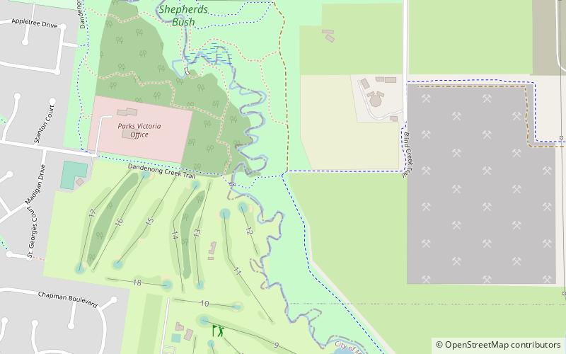
The Blind Creek Trail, in the outer eastern suburbs of Melbourne, in the Australian state of Victoria, is a shared-use path for cyclists and pedestrians, which follows the Blind Creek from the Dandenong Creek Trail in Wantirna South to the Ringwood - Belgrave Rail Trail in Boronia. ()
Length: 7.15 miCoordinates: 37°53'7"S, 145°11'46"E
Location
Victoria
ContactAdd
Social media
Add
Day trips


