Jells Park

Gallery (2)
Map
Map
Gallery
Facts and practical information
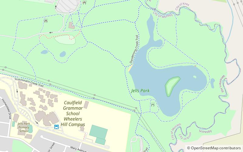
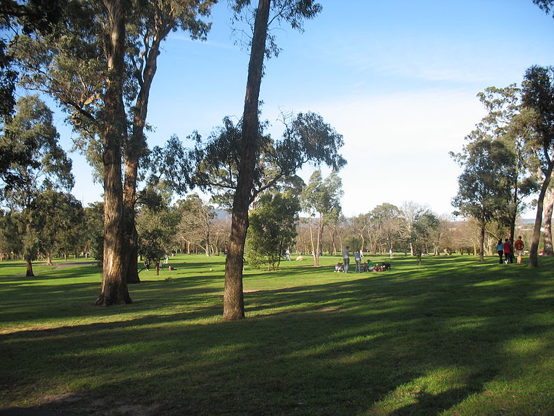
Jells Park is a public park in Wheelers Hill, a suburb in south-east Melbourne, Victoria, Australia. The park opened on 30 April 1976 and is named after Joseph Jell, a cattle grazier who worked in the area in the mid-late 1800s. The park attracts in excess of 900,000 visitors a year. It covers around 127 hectares and contains 9 kilometres of paths for cycling and walking, including Scotchmans Creek Trail, EastLink Trail, and Dandenong Creek Trail which connects to Blind Creek Trail. ()
Created: 30 April 1976Visitors per year: 900 thous.Elevation: 194 ft a.s.l.Coordinates: 37°53'58"S, 145°11'60"E
Day trips