Adelaide Street, Brisbane

Gallery (2)
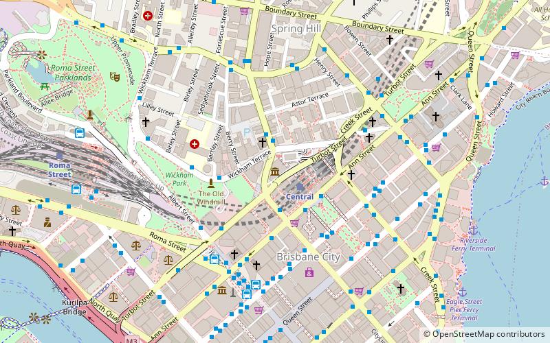
Map
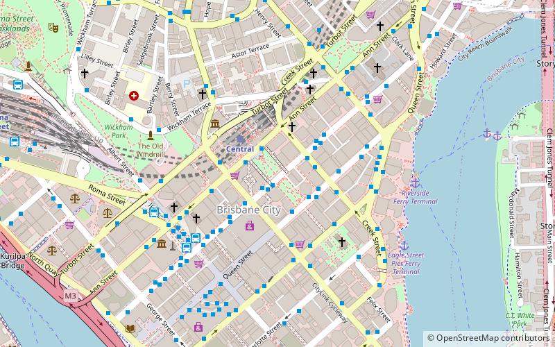
Map
Gallery
Facts and practical information
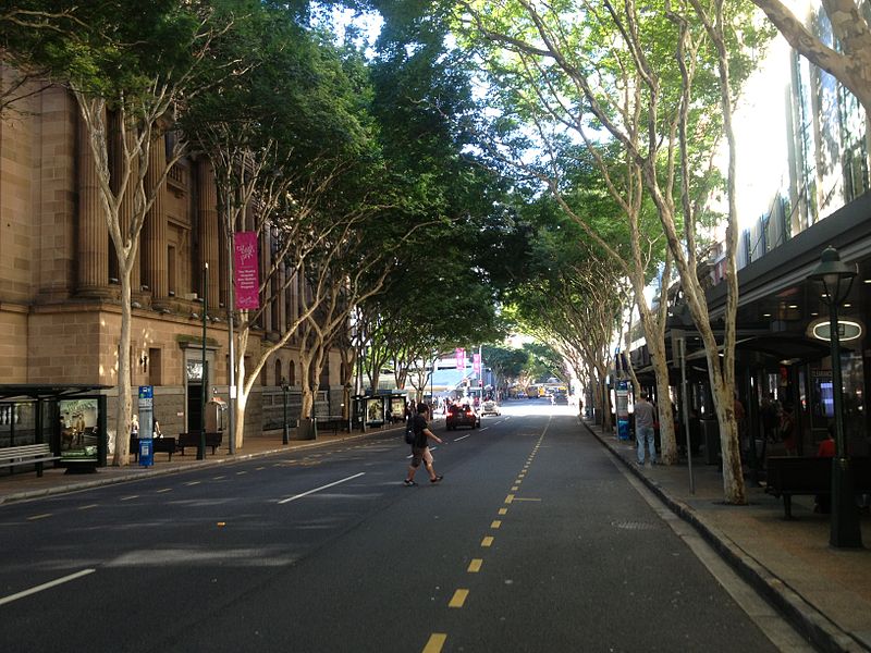
Adelaide Street is a major street in Brisbane, Queensland, Australia. It runs between and parallel to Queen Street and Ann Street. ()
Coordinates: 27°28'0"S, 153°1'37"E
Address
Brisbane CityBrisbane
ContactAdd
Social media
Add
Getting there by public transportation
Public transportation stops near this location
- Bus
- Train
- Ferry
 Bus
Bus
- Calculate routeCreek Street stop 149 near Adelaide St 2 min walk
- Calculate routeQueen Street Stop 58 near Pedestrian Crossing 2 min walk
- Calculate routeAdelaide Street Stop 24 near Edward St 3 min walk
- Calculate routeQueen Street Stop 76 near Creek St 3 min walk
- Calculate routeCentral 3 min walk
- Calculate routeRoma Street 14 min walk
- Calculate routeFortitude Valley 23 min walk
- Calculate routeSouth Bank 28 min walk
- Calculate routeEagle Street Pier Ferry Terminal 8 min walk
- Calculate routeHolman Street Ferry Terminal 11 min walk
- Calculate routeNorth Quay 1 13 min walk
- Calculate routeNorth Quay 2 13 min walk
Day trips
Adelaide Street – popular in the area (distance from the attraction)
Nearby attractions include: Queen Street Mall, QueensPlaza, Brisbane Arcade, Wintergarden.


Frequently Asked Questions (FAQ)
Which popular attractions are close to Adelaide Street?
Nearby attractions include South African War Memorial, Brisbane (1 min walk), Anzac Square, Brisbane (1 min walk), Post Office Square, Brisbane (1 min walk), Shrine of Remembrance, Brisbane (2 min walk).
How to get to Adelaide Street by public transport?
The nearest stations to Adelaide Street:
Bus
Train
Ferry
Bus
- Creek Street stop 149 near Adelaide St • Lines: 372 (2 min walk)
- Queen Street Stop 58 near Pedestrian Crossing • Lines: 470 (2 min walk)
Train
- Central (3 min walk)
- Roma Street (14 min walk)
Ferry
- Eagle Street Pier Ferry Terminal • Lines: Chop-400, Xrvr-400 (8 min walk)
- Holman Street Ferry Terminal • Lines: Chop-400, Xrvr-400 (11 min walk)