Museum of Lands, Brisbane
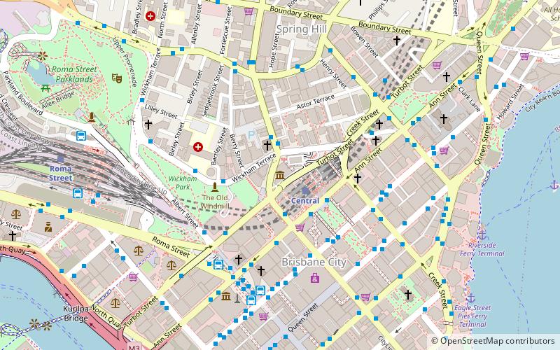
Map
Facts and practical information
The Museum of Lands, Mapping and Surveying is a museum at 317 Edward Street, Brisbane, Queensland, Australia. It collects and exhibits material relating to the surveying of Queensland and the maps created. It is a sub-branch of the Queensland Museum. It actively digitises and makes available historic maps and aerial imagery under open licences. ()
Coordinates: 27°27'56"S, 153°1'30"E
Getting there by public transportation
Public transportation stops near this location
- Bus
- Train
- Ferry
 Bus
Bus
- Calculate routeCentral 2 min walk
- Calculate routeRoma Street 11 min walk
- Calculate routeFortitude Valley 22 min walk
- Calculate routeSouth Bank 30 min walk
- Calculate routeUpper Edward Street Stop 140 near Wickham Tce 2 min walk
- Calculate routeEdward Street Stop 141 near Ann St 2 min walk
- Calculate routeUpper Edward Street Stop 135 near Wickham Tce 2 min walk
- Calculate routeAnn Street stop 9 near King George Square 4 min walk
- Calculate routeEagle Street Pier Ferry Terminal 11 min walk
- Calculate routeHolman Street Ferry Terminal 14 min walk
- Calculate routeNorth Quay 1 14 min walk
- Calculate routeNorth Quay 2 14 min walk
Day trips


Frequently Asked Questions (FAQ)
Which popular attractions are close to Museum of Lands?
Nearby attractions include Turbot Street, Brisbane (1 min walk), Baptist City Tabernacle, Brisbane (2 min walk), Jacob's Ladder, Brisbane (2 min walk), King Edward Park Air Raid Shelter, Brisbane (2 min walk).
How to get to Museum of Lands by public transport?
The nearest stations to Museum of Lands:
Train
Bus
Ferry
Train
- Central (2 min walk)
- Roma Street (11 min walk)
Bus
- Upper Edward Street Stop 140 near Wickham Tce • Lines: 372, P331 (2 min walk)
- Edward Street Stop 141 near Ann St • Lines: 372, 470, P331 (2 min walk)
Ferry
- Eagle Street Pier Ferry Terminal • Lines: Chop-400, Xrvr-400 (11 min walk)
- Holman Street Ferry Terminal • Lines: Chop-400, Xrvr-400 (14 min walk)