Geelong Synagogue, Geelong
Map
Facts and practical information
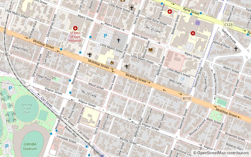
The Geelong Synagogue is a former synagogue at the corner of McKillop and Yarra Streets, Geelong, Victoria, Australia. It was designed by John Young and built in 1861 by Jones and Halpin. It is no longer used as a synagogue, but has been refurbished and is in use as offices. It was listed on the Victorian Heritage Register on 14 September 1995. ()
Established: 1861 (165 years ago)Coordinates: 38°9'16"S, 144°21'40"E
Address
Geelong
ContactAdd
Social media
Add
Getting there by public transportation
Public transportation stops near this location
- Bus
- Train
 Bus
Bus
- Calculate routeMcKillop Street/Moorabool Street 5 min walk
- Calculate routeMaud Street/Moorabool Street 6 min walk
- Calculate routeSouth Geelong Railway Station 8 min walk
- Calculate routeMoorabool Street Bus Interchange 11 min walk
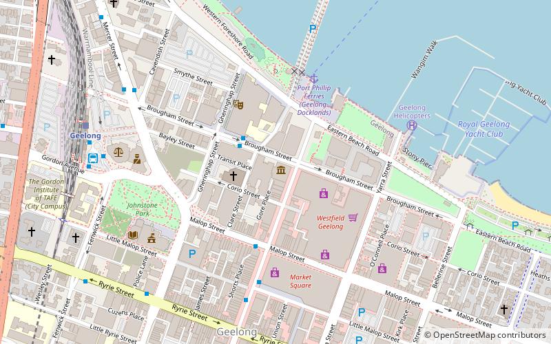
- Calculate routeSouth Geelong 8 min walk
- Calculate routeGeelong 20 min walk
Day trips


Frequently Asked Questions (FAQ)
Which popular attractions are close to Geelong Synagogue?
Nearby attractions include St Mary of the Angels Basilica, Geelong (4 min walk), Christ Church, Geelong (4 min walk), Old Geelong Gaol, Geelong (6 min walk), Shinto Tattoo Gallery, Geelong (11 min walk).
How to get to Geelong Synagogue by public transport?
The nearest stations to Geelong Synagogue:
Bus
Train
Bus
- McKillop Street/Moorabool Street • Lines: 1 (5 min walk)
- Maud Street/Moorabool Street • Lines: 1 (6 min walk)
Train
- South Geelong (8 min walk)
- Geelong (20 min walk)