All Souls Church, Sydney
Map

Map

Facts and practical information
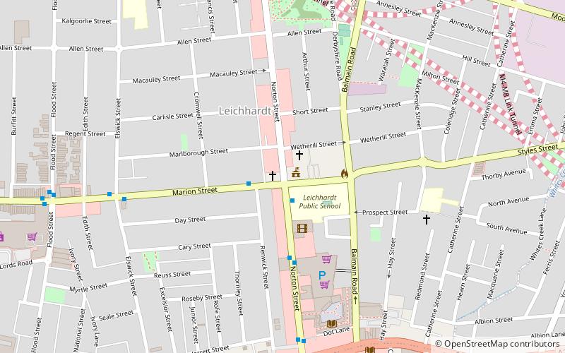
All Souls is an Anglican church in the Diocese of Sydney. The church is located on the corner of Norton and Marion Streets, Leichhardt, New South Wales, Australia. ()
Coordinates: 33°53'1"S, 151°9'25"E
Day trips
All Souls Church – popular in the area (distance from the attraction)
Nearby attractions include: Rozelle Tram Depot, Petersham Park, Norton Plaza, Callan Park.
Frequently Asked Questions (FAQ)
Which popular attractions are close to All Souls Church?
Nearby attractions include Leichhardt Town Hall, Sydney (1 min walk), Jura Books, Leichhardt (9 min walk), Sydney Bus Museum, Sydney (13 min walk), Petersham Park, Sydney (17 min walk).
How to get to All Souls Church by public transport?
The nearest stations to All Souls Church:
Bus
Light rail
Train
Bus
- 204024 • Lines: 438 (4 min walk)
- Percival Road • Lines: 438 (14 min walk)
Light rail
- Leichhardt North • Lines: L1 (16 min walk)
- Hawthorne • Lines: L1 (16 min walk)
Train
- Petersham (19 min walk)
- Stanmore (22 min walk)

 Sydney Trains
 Sydney Light Rail
 Sydney Ferries


