Bolte Bridge, Melbourne
Facts and practical information
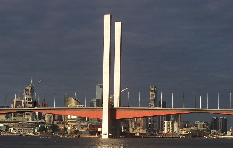
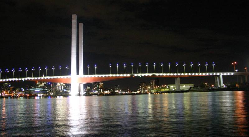
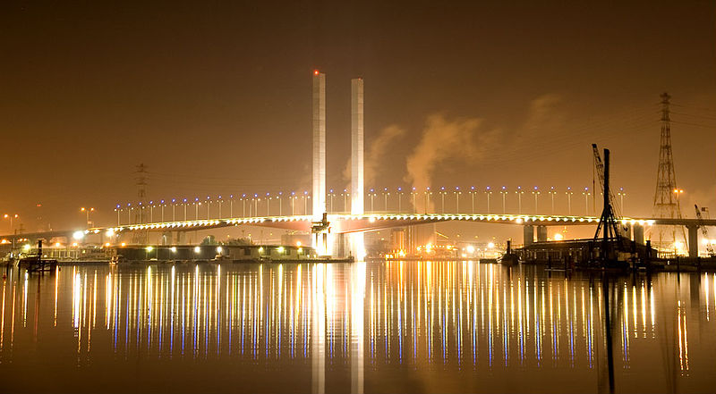
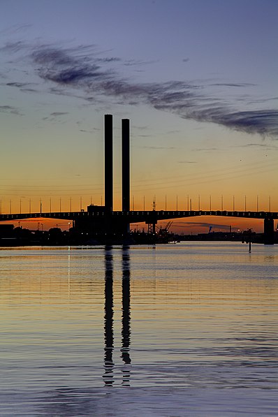
The Bolte Bridge is a large twin cantilever road bridge in Melbourne, Victoria, Australia. The Bolte Bridge carries a total of eight lanes of traffic – four lanes northbound and four lanes southbound. While officially only 490 metres in length, the actual structure appears much longer as it forms part of a 5 kilometre elevated roadway between Flemington Road and the West Gate Freeway. It spans the Yarra River and Victoria Harbour in the Docklands precinct to the west of the Melbourne CBD. It forms part of the CityLink system of toll roads that connects the Tullamarine Freeway from the northern suburbs with the West Gate Freeway and the Domain and Burnley tunnels to the Monash Freeway and the south eastern suburbs. It is named after Victoria’s 38th and longest-serving Premier, Sir Henry Bolte. ()
City of Melbourne (West Melbourne)Melbourne
Bolte Bridge – popular in the area (distance from the attraction)
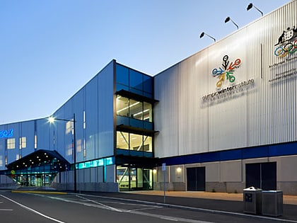
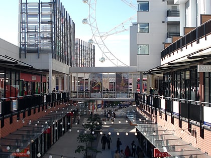
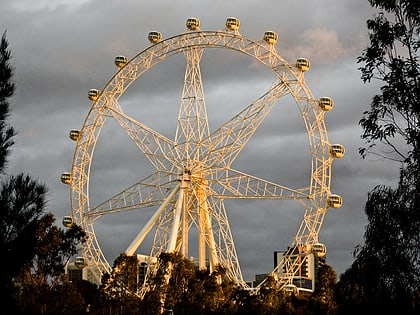
Nearby attractions include: DFO South Wharf, Etihad Stadium, Icehouse, Victoria Police Museum.
Frequently Asked Questions (FAQ)
Which popular attractions are close to Bolte Bridge?
How to get to Bolte Bridge by public transport?
Bus
- Graham Street/Lorimer Street • Lines: 237 (5 min walk)
- Ingles Street/Lorimer Street • Lines: 237 (5 min walk)
Tram
- Stop D11: The District • Lines: 35, 70, 70d, 86, 86d (13 min walk)
- Stop D18: Victoria Harbour Docklands • Lines: 11, 48, 48d (15 min walk)
Ferry
- Port Phillip Ferries (19 min walk)
Train
- North Melbourne (26 min walk)
- Southern Cross (29 min walk)



 Melbourne Trams
 Victoria Trains

