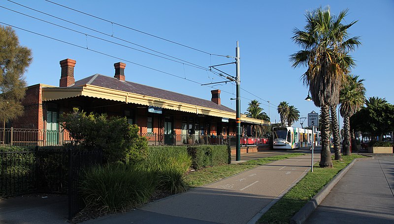
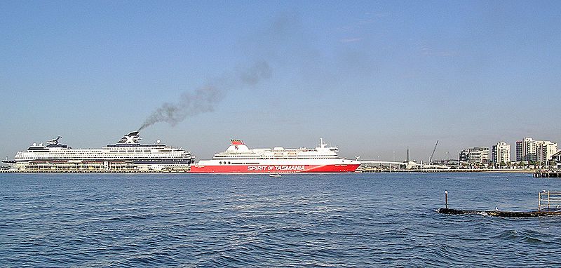
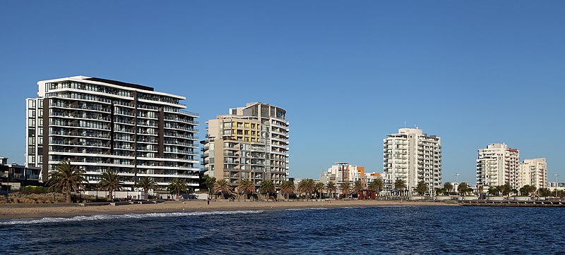
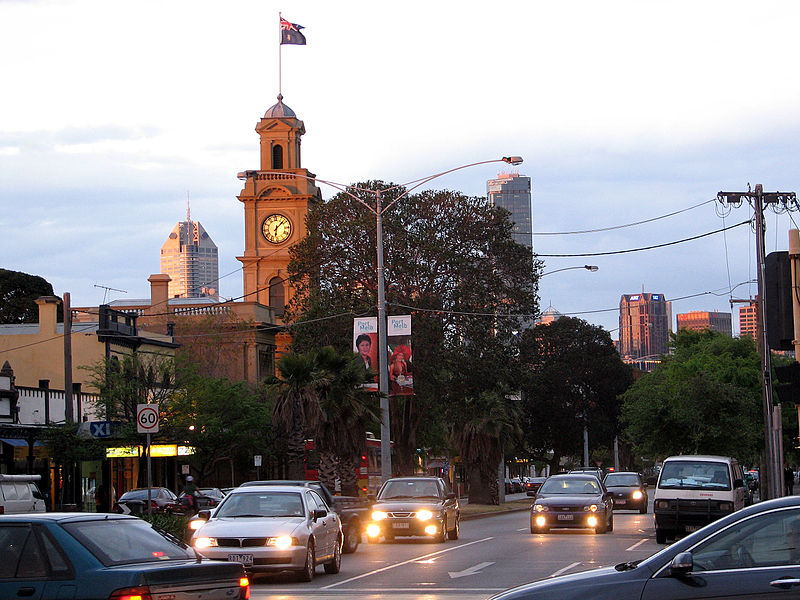
Port Melbourne, Melbourne

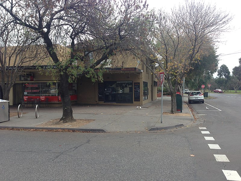
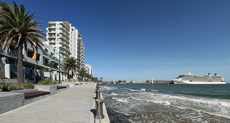
Gallery (7)
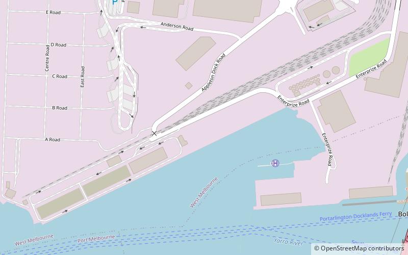
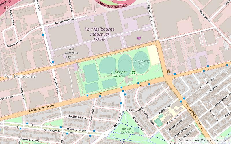
Map

Map

Gallery
Facts and practical information
Port Melbourne is an inner suburb of Melbourne, Australia, 3 km south-west from the Melbourne central business district. It is split between the local government areas of Melbourne and Port Phillip. The area to the north of the West Gate Freeway is in the City of Melbourne. The area to the south is in the City of Port Phillip. At the 2016 Census, Port Melbourne had a population of 16,175. ()
Address
Port Phillip (Port Melbourne)Melbourne
ContactAdd
Social media
Add
Getting there by public transportation
Public transportation stops near this location
- Bus
- Tram
 Bus
Bus
- Calculate routeLeith Crescent 6 min walk
- Calculate routeGarden City/Centre Ave 7 min walk
- Calculate routeRosny Street 8 min walk
- Calculate routePage Avenue 9 min walk
- Calculate routeStop 129: Beacon Cove 20 min walk
- Calculate routeStop 128: Graham Street 23 min walk
- Calculate routeStop 127: North Port 30 min walk
- Calculate routeStop D18: Victoria Harbour Docklands 36 min walk
Maps Melbourne TramsMaps
 Victoria Trains
Melbourne TramsMapsVictoria TrainsDay trips


Frequently Asked Questions (FAQ)
Which popular attractions are close to Port Melbourne?
Nearby attractions include SS Anderson Reserve, Melbourne (10 min walk), Fishermans Bend, Melbourne (14 min walk), Station Pier, Melbourne (24 min walk).
How to get to Port Melbourne by public transport?
The nearest stations to Port Melbourne:
Bus
Tram
Bus
- Leith Crescent • Lines: 234 (6 min walk)
- Garden City/Centre Ave • Lines: 234, 236 (7 min walk)
Tram
- Stop 129: Beacon Cove • Lines: 109, 109d (20 min walk)
- Stop 128: Graham Street • Lines: 109, 109d (23 min walk)