Canning Bridge, Perth
Gallery (3)
Map
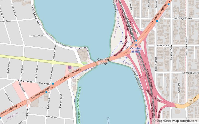
Map
Gallery
Facts and practical information
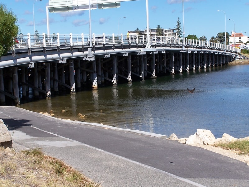
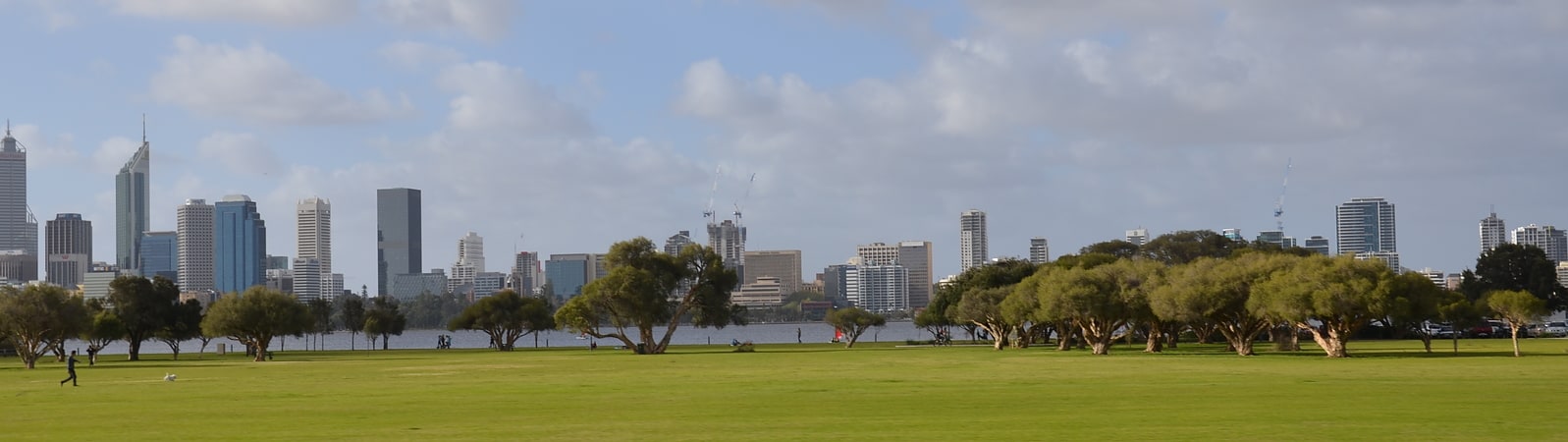
Canning Bridge is a traffic bridge which is the most downstream crossing of the Canning River in the city of Perth, Western Australia. The bridge is a part of Canning Highway, and it connects the suburbs of Como and Applecross. The Canning River is approximately 100 metres wide at the crossing, the narrowest point of the river along its downstream stretch. It is located near the Canning Bridge railway station. ()
Coordinates: 32°0'40"S, 115°51'11"E
Address
Canning HwyPerth
ContactAdd
Social media
Add
Getting there by public transportation
Public transportation stops near this location
- Train
 Train
Train
- Calculate routeCanning Bridge 6 min walk
Day trips


Frequently Asked Questions (FAQ)
How to get to Canning Bridge by public transport?
The nearest stations to Canning Bridge:
Train
Train
- Canning Bridge (6 min walk)