Chinamans Hat Island, Dhilba Guuranda-Innes National Park

Gallery (1)
Map
Map
Facts and practical information
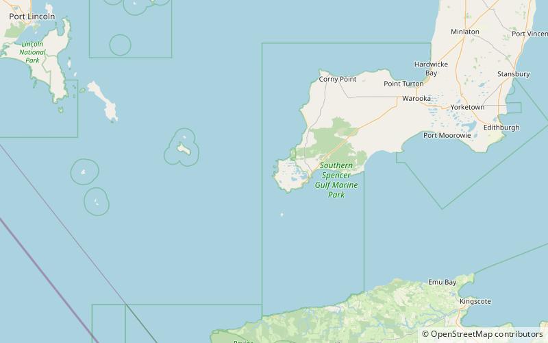
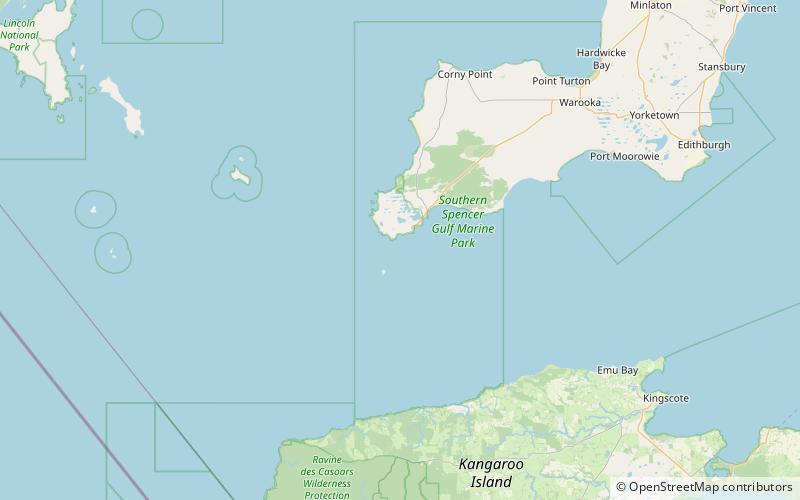
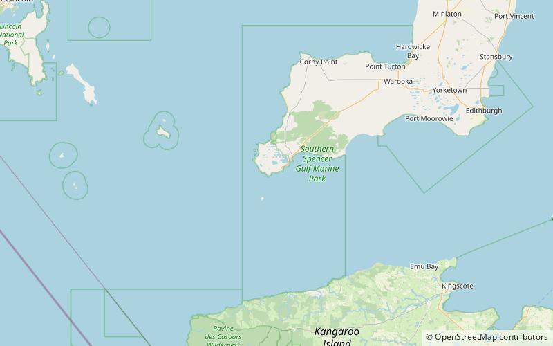
Chinamans Hat Island is an islet located off the south coast of Yorke Peninsula in Investigator Strait in South Australia about 2.4 kilometres south-west of Stenhouse Bay and within 350 metres of the shore. As of 2014, it is located within the Innes National Park. ()
Coordinates: 35°17'20"S, 136°55'5"E
Address
Dhilba Guuranda-Innes National Park
ContactAdd
Social media
Add
Day trips