Coal and Candle Creek, Sydney

Gallery (1)
Map
Map
Facts and practical information
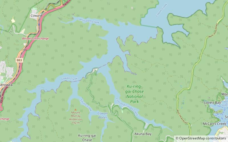
Coal and Candle Creek is a creek located in Sydney, Australia. It is a tributary of Cowan Creek which flows into the Hawkesbury River. ()
Coordinates: 33°37'0"S, 151°13'1"E
Address
Warringah (Pittwater)Sydney
ContactAdd
Social media
Add
Public Transportation
Maps Sydney TrainsMaps
 Sydney Light RailMaps
 Sydney Ferries
Sydney TrainsMapsSydney Light RailMapsSydney FerriesDay trips


