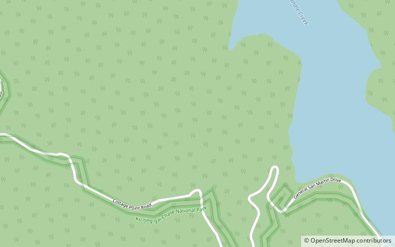
Ku-ring-gai Chase National Park, Sydney
Map

Map

Facts and practical information
Ku-ring-gai Chase National Park is a national park on the northern side of Sydney in New South Wales, Australia. The 14,977-hectare park is 25 kilometres north of the Sydney central business district and generally comprises the land east of the M1 Pacific Motorway, south of the Hawkesbury River, west of Pittwater and north of Mona Vale Road. It includes Barrenjoey Headland on the eastern side of Pittwater. ()
Day trips
Ku-ring-gai Chase National Park – popular in the area (distance from the attraction)
Nearby attractions include: Ku-ring-gai Chase National Park, Cowan Creek, Coal and Candle Creek, Akuna Bay.

 Sydney Trains
 Sydney Light Rail
 Sydney Ferries


