Moorabbin Oval, Melbourne
Map
Gallery
Facts and practical information
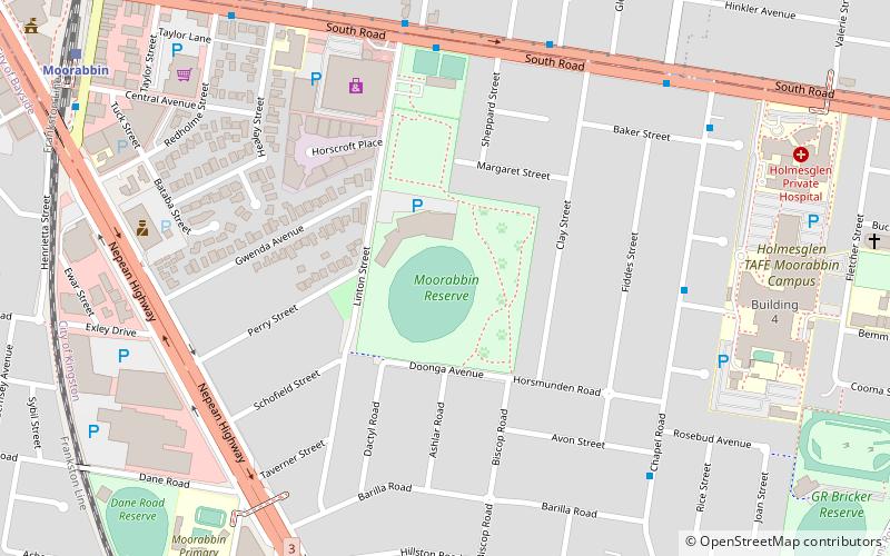
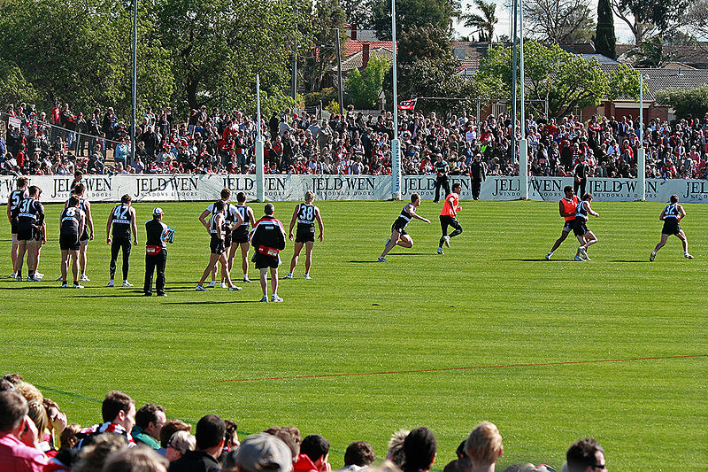
Moorabbin Oval, also known by its sponsorship name of RSEA Safety Park, is an Australian rules football ground in the city of Melbourne, Victoria, Australia at Linton Street in the suburb of Moorabbin. ()
Opened: 1952 (74 years ago)Capacity: 8000Coordinates: 37°56'16"S, 145°2'38"E
Address
Kingston (Moorabbin)Melbourne
ContactAdd
Social media
Add
Day trips
Moorabbin Oval – popular in the area (distance from the attraction)
Nearby attractions include: Westfield Southland, Metropolitan Golf Club, Brighton Beach, Commonwealth Golf Club.
Frequently Asked Questions (FAQ)
How to get to Moorabbin Oval by public transport?
The nearest stations to Moorabbin Oval:
Bus
Train
Bus
- Moorabbin Station/Station St • Lines: 825 (11 min walk)
- Fairbank Road/Jasper Road • Lines: Bus 627 (12 min walk)
Train
- Moorabbin (12 min walk)
- Highett (19 min walk)

 Melbourne Trams
 Victoria Trains
