Edward Street, Brisbane

Gallery (10)
Map

Map

Gallery
Facts and practical information
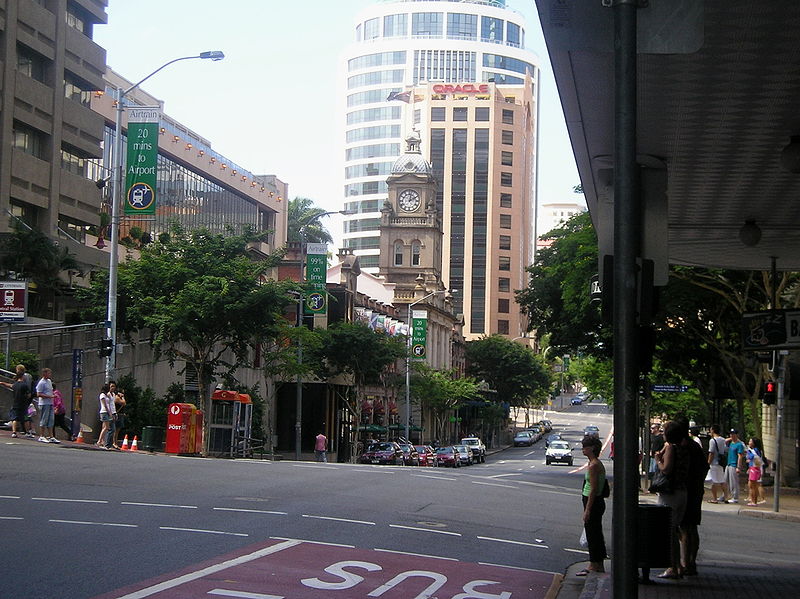
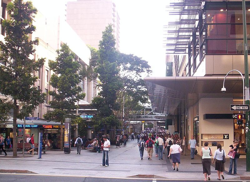
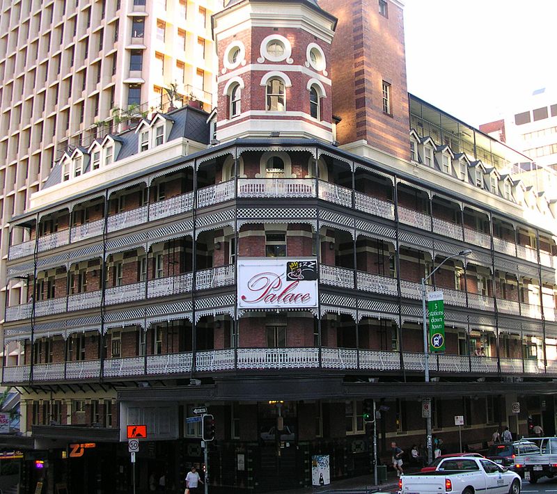
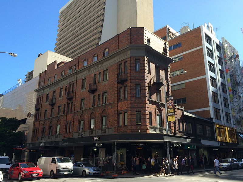
Edward Street is a busy thoroughfare in the Brisbane central business district, Queensland, Australia. It is a one-way street located between Albert Street and Creek Street, and runs from Upper Edward Street to Alice Street. It is named after Edward VII of the United Kingdom. ()
Coordinates: 27°28'7"S, 153°1'37"E
Address
Brisbane CityBrisbane
ContactAdd
Social media
Add
Getting there by public transportation
Public transportation stops near this location
- Bus
- Train
- Ferry
 Bus
Bus
- Calculate routeElizabeth Street Stop 84 near Edward St 2 min walk
- Calculate routeElizabeth Street Stop 87 near Edward St 2 min walk
- Calculate routeEdward Street Stop 144 near Elizabeth St 2 min walk
- Calculate routeAdelaide Street Stop 39 at David Jones 3 min walk
- Calculate routeCentral 6 min walk
- Calculate routeRoma Street 15 min walk
- Calculate routeSouth Bank 24 min walk
- Calculate routeFortitude Valley 26 min walk
- Calculate routeEagle Street Pier Ferry Terminal 7 min walk
- Calculate routeNorth Quay 1 11 min walk
- Calculate routeNorth Quay 2 11 min walk
- Calculate routeHolman Street Ferry Terminal 12 min walk
Day trips
Edward Street – popular in the area (distance from the attraction)
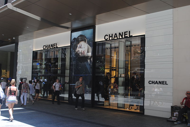
Nearby attractions include: Queen Street Mall, QueensPlaza, The Myer Centre, Brisbane Arcade.


Frequently Asked Questions (FAQ)
Which popular attractions are close to Edward Street?
Nearby attractions include MacArthur Museum, Brisbane (1 min walk), Queen Street, Brisbane (2 min walk), 171 Edward Street, Brisbane (2 min walk), General Post Office, Brisbane (2 min walk).
How to get to Edward Street by public transport?
The nearest stations to Edward Street:
Bus
Train
Ferry
Bus
- Elizabeth Street Stop 84 near Edward St • Lines: P151 (2 min walk)
- Elizabeth Street Stop 87 near Edward St • Lines: 372, 475 (2 min walk)
Train
- Central (6 min walk)
- Roma Street (15 min walk)
Ferry
- Eagle Street Pier Ferry Terminal • Lines: Chop-400, Xrvr-400 (7 min walk)
- North Quay 1 • Lines: Chop-400, Uqsl-1410 (11 min walk)