Endeavour Bridge, Sydney
Map

Gallery

Facts and practical information
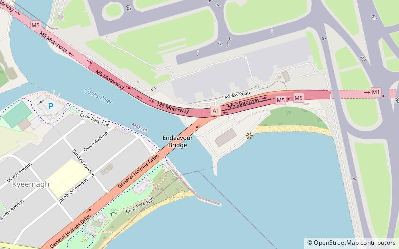
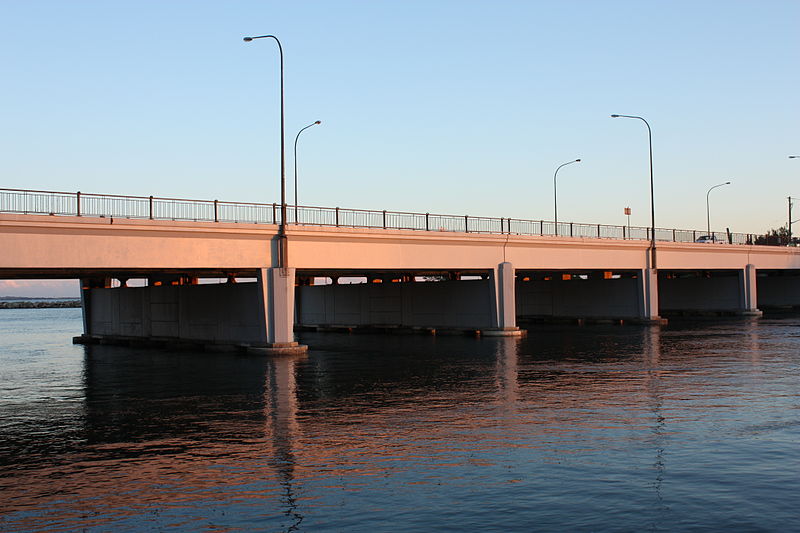
The Endeavour Bridge is a road bridge that carries the General Holmes Drive across the Cooks River, from Mascot to Kyeemagh in the Bayside Council local government area in southern Sydney, New South Wales, Australia. The bridge is located adjacent to the river mouth, where the Cooks River empties into Botany Bay. ()
Opened: May 1951 (74 years ago)Coordinates: 33°56'50"S, 151°10'5"E
Address
Eastern Suburbs (Mascot)Sydney
ContactAdd
Social media
Add
Day trips
Endeavour Bridge – popular in the area (distance from the attraction)
Nearby attractions include: Tempe House, Al-Zahra Mosque, M5 cycleway, Kyeemagh.
Frequently Asked Questions (FAQ)
Which popular attractions are close to Endeavour Bridge?
Nearby attractions include Kyeemagh, Sydney (12 min walk), M5 cycleway, Sydney (22 min walk).
How to get to Endeavour Bridge by public transport?
The nearest stations to Endeavour Bridge:
Train
Train
- International Airport (22 min walk)
- Domestic Airport (32 min walk)

 Sydney Trains
 Sydney Light Rail
 Sydney Ferries


