General Holmes Drive, Sydney

Gallery (1)
Map
Map
Facts and practical information
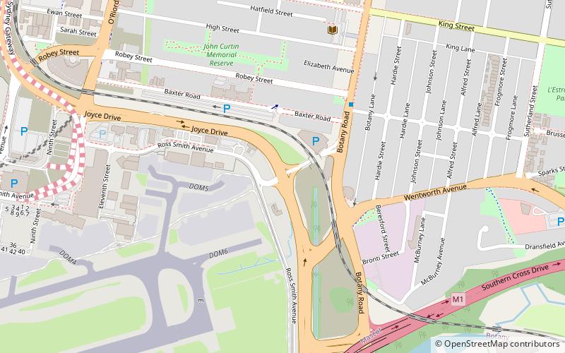
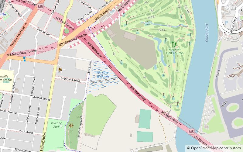
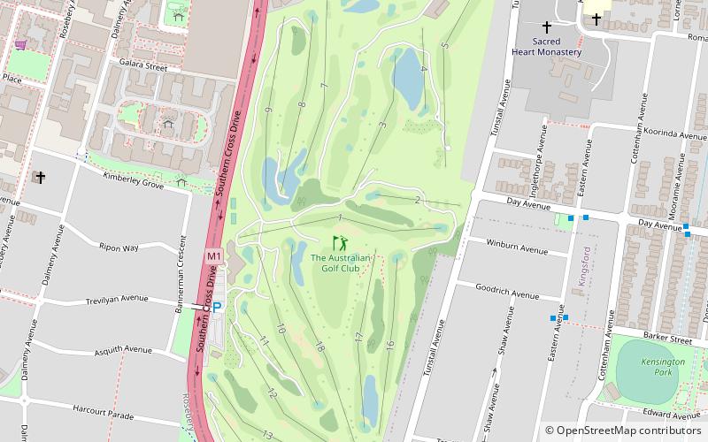
General Holmes Drive is a 5-kilometre major divided road located in Sydney, New South Wales, Australia. The road forms part of the M1, the A1, the Sydney Orbital Network, and the Australian Highway 1 network. Initially built in 1919 as a two-lane road and duplicated in 1951, the road partially circumnavigates Sydney Airport with its north-eastern terminus in Mascot, heading west and then south and then south-west, with its south-western terminus with The Grand Parade in Brighton-Le-Sands. ()
Coordinates: 33°56'2"S, 151°11'32"E
Address
Eastern Suburbs (Mascot)Sydney
ContactAdd
Social media
Add
Getting there by public transportation
Public transportation stops near this location
- Bus
- Train
 Bus
Bus
- Calculate routeDomestic Airport 15 min walk
- Calculate routeMascot 21 min walk
- Calculate routeStand D, Mascot Station 20 min walk
- Calculate routeGardeners Road near Dunning Avenue 25 min walk
- Calculate routeEvans Avenue Nr Maloney Street, Eastlakes 28 min walk
Maps Sydney TrainsMaps
 Sydney Light RailMaps
 Sydney Ferries
Sydney TrainsMapsSydney Light RailMapsSydney FerriesDay trips


Frequently Asked Questions (FAQ)
How to get to General Holmes Drive by public transport?
The nearest stations to General Holmes Drive:
Train
Bus
Train
- Domestic Airport (15 min walk)
- Mascot (21 min walk)
Bus
- Stand D, Mascot Station • Lines: 418 (20 min walk)
- Gardeners Road near Dunning Avenue • Lines: 418 (25 min walk)