M5 cycleway, Sydney

Map
Facts and practical information
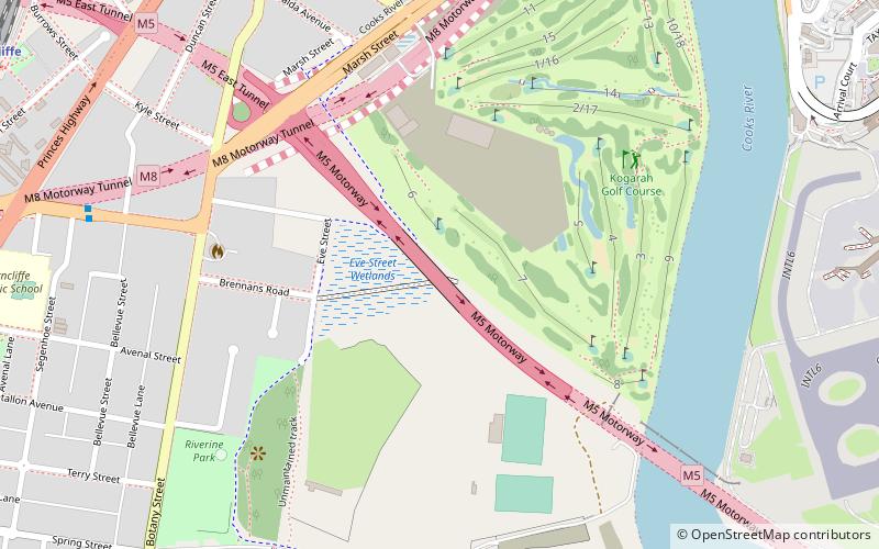
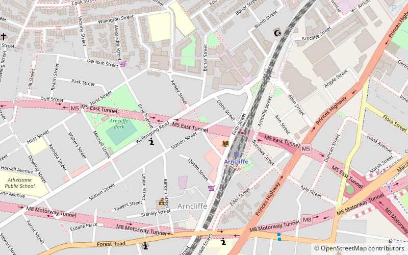
The M5 cycleway is a predominantly on road 32-kilometre-long cycleway generally aligned with the M5 motorway in south-western Sydney, New South Wales, Australia. The eastern terminus of the cycleway is in Arncliffe where it connects with the Cooks River cycleway. The southwestern terminus of the cycleway is in Prestons where is connects with the M7 cycleway. The cycleway does not have a separate cycle lane or path, instead cyclists use the breakdown lane. ()
Length: 19.88 miCoordinates: 33°56'25"S, 151°9'22"E
Address
Rockdale (Arncliffe)Sydney
ContactAdd
Social media
Add
Day trips
M5 cycleway – popular in the area (distance from the attraction)
Nearby attractions include: Tempe House, Rockdale Plaza, Cooks River Sewage Aqueduct, Wolli Creek Aqueduct.
Frequently Asked Questions (FAQ)
Which popular attractions are close to M5 cycleway?
Nearby attractions include Kyeemagh, Sydney (18 min walk), Al-Zahra Mosque, Sydney (18 min walk), Tempe House, Sydney (19 min walk), Endeavour Bridge, Sydney (22 min walk).
How to get to M5 cycleway by public transport?
The nearest stations to M5 cycleway:
Train
Bus
Train
- Arncliffe (15 min walk)
- International Airport (18 min walk)
Bus
- Rockdale Station, Railway St, Stand F (36 min walk)
- Rockdale Station, Railway St, Stand G (37 min walk)
 Sydney Trains
 Sydney Light Rail
 Sydney Ferries


