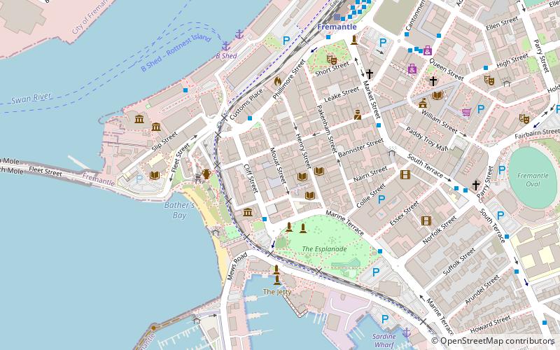
Cliff Street, Perth
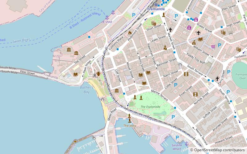
Map
Facts and practical information
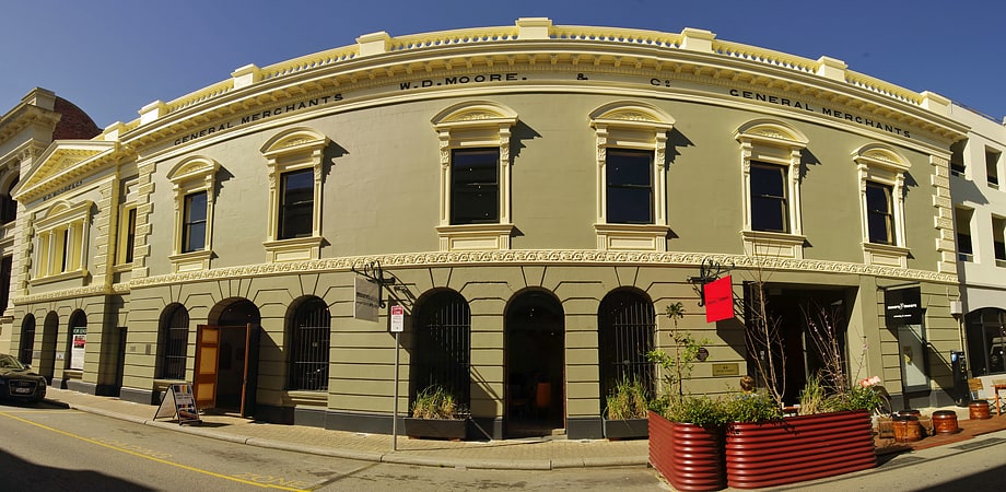
Cliff Street is a street in Fremantle, Western Australia. It is the furthest west cross street on High Street, running parallel to Mouat Street. It is also at the south western edge of University of Notre Dame campus buildings. It is part of the Fremantle West End Heritage area, which was established in late 2016. ()
Coordinates: 32°3'23"S, 115°44'35"E
Address
FremantlePerth
ContactAdd
Social media
Add
Getting there by public transportation
Public transportation stops near this location
- Bus
- Train
- Ferry
 Bus
Bus
- Calculate routeFishing Boat Harbour 2 min walk
- Calculate routeVictoria Quay 3 min walk
- Calculate routeMaritime Museum & E-Shed Markets 6 min walk
- Calculate routeEsplanade Hotel 7 min walk
- Calculate routeB Shed 7 min walk
- Calculate routeNorthport Rous Head 21 min walk
- Calculate routeFremantle 9 min walk
Day trips


Frequently Asked Questions (FAQ)
Which popular attractions are close to Cliff Street?
Nearby attractions include McDonald Smith Building, Perth (1 min walk), Reckitt & Colman Building Facade, Perth (1 min walk), 7 High Street, Perth (1 min walk), Commissariat Buildings, Perth (2 min walk).
How to get to Cliff Street by public transport?
The nearest stations to Cliff Street:
Bus
Ferry
Train
Bus
- Fishing Boat Harbour • Lines: 7 (2 min walk)
- Victoria Quay • Lines: 6, 7 (3 min walk)
Ferry
- B Shed • Lines: Express, SeaLink (7 min walk)
- Northport Rous Head • Lines: Express (21 min walk)
Train
- Fremantle (9 min walk)