Heirisson Island, Perth
Map
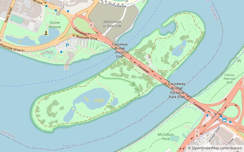
Map

Facts and practical information
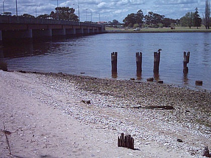
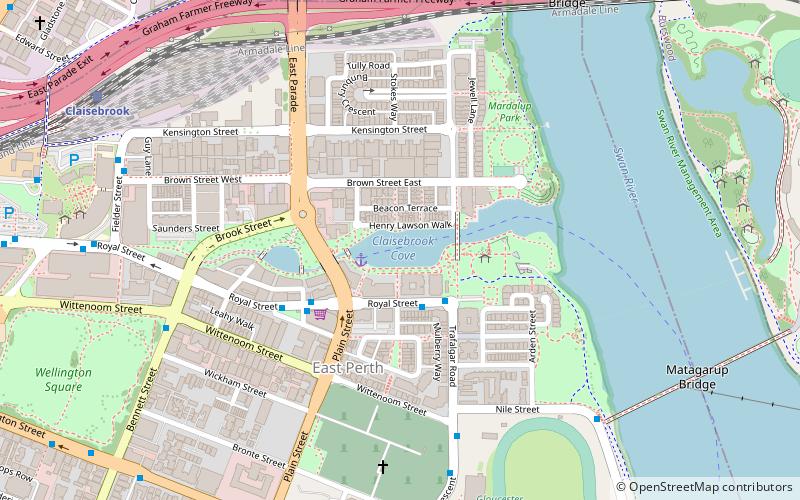
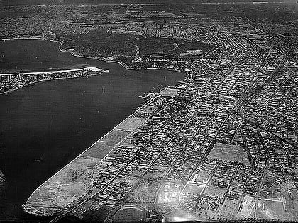
Heirisson Island is an island in the Swan River in Western Australia at the eastern end of Perth Water, between the suburbs of East Perth and Victoria Park. It occupies an area of 285600 m2, and is connected to the two foreshores by The Causeway. The next upstream island is Kuljak Island, then Ron Courtney Island, with no islands in the Swan River downstream between Heirisson Island and the Indian Ocean other than the artificial islet in Elizabeth Quay. ()
Day trips
Heirisson Island – popular in the area (distance from the attraction)
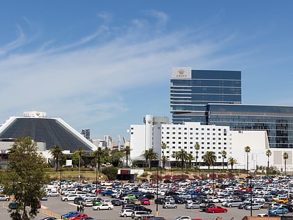
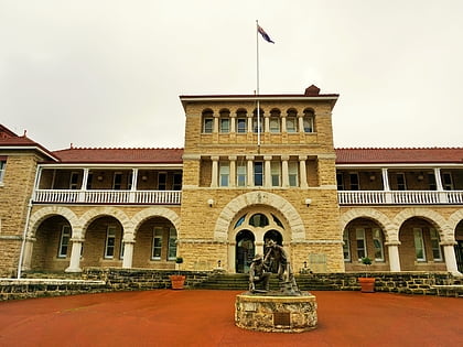
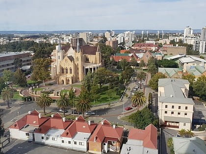
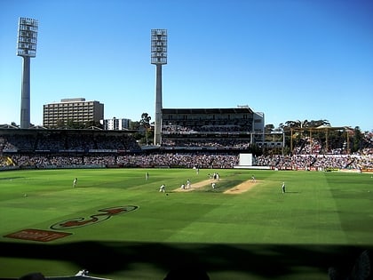
Nearby attractions include: Crown Perth, Perth Mint, St Mary's Cathedral, WACA Ground.
Frequently Asked Questions (FAQ)
Which popular attractions are close to Heirisson Island?
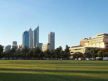
Nearby attractions include Erskine Link, Perth (11 min walk), WACA Ground, Perth (11 min walk), Queens Gardens, Perth (14 min walk), Gloucester Park, Perth (16 min walk).
How to get to Heirisson Island by public transport?
The nearest stations to Heirisson Island:
Bus
Train
Bus
- Adelaide Terrace Westend Causeway • Lines: 288, 293, 930 (10 min walk)
- Victoria Park Transfer Station Stand E • Lines: 293 (12 min walk)
Train
- Burswood (29 min walk)
- Perth Stadium (32 min walk)
