Market City, Sydney
Map
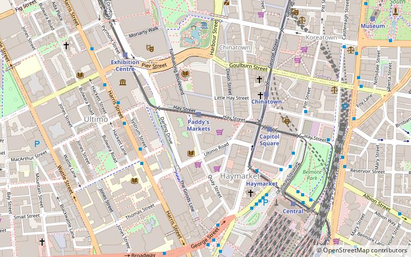
Map

Facts and practical information
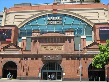
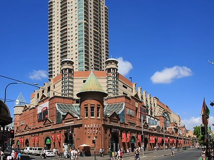
Market City is a shopping centre in Haymarket in the southern end of the Sydney Central Business District. ()
Coordinates: 33°52'47"S, 151°12'11"E
Day trips
Market City – popular in the area (distance from the attraction)
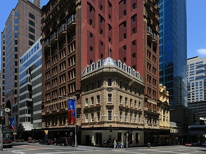
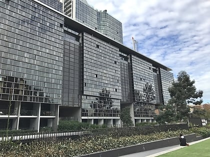
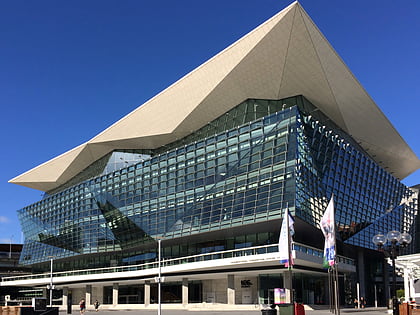
Nearby attractions include: Castlereagh Street, Central Park, International Convention Centre Sydney, World Square.
Frequently Asked Questions (FAQ)
When is Market City open?
Market City is open:
- Monday 10 am - 7 pm
- Tuesday 10 am - 7 pm
- Wednesday 10 am - 7 pm
- Thursday 10 am - 8 pm
- Friday 10 am - 7 pm
- Saturday 10 am - 7 pm
- Sunday 10 am - 7 pm
Which popular attractions are close to Market City?
Nearby attractions include Paddy's Markets, Sydney (1 min walk), UTS Library, Sydney (2 min walk), Ultimo Road railway underbridge, Sydney (4 min walk), Dr Chau Chak Wing Building, Sydney (4 min walk).
How to get to Market City by public transport?
The nearest stations to Market City:
Light rail
Bus
Train
Ferry
Light rail
- Paddy's Markets • Lines: L1 (1 min walk)
- Capitol Square • Lines: L1 (4 min walk)
Bus
- Pitt St at Barlow St • Lines: 433 (6 min walk)
- Pitt St opp Barlow St • Lines: 431, 433 (6 min walk)
Train
- Central (9 min walk)
- Museum (13 min walk)
Ferry
- Pyrmont Bay Wharf • Lines: F4, Ferry (22 min walk)
- Darling Harbour Wharf 1 (25 min walk)
 Sydney Trains
 Sydney Light Rail
 Sydney Ferries