Railway Square, Sydney
Map
Gallery
Facts and practical information
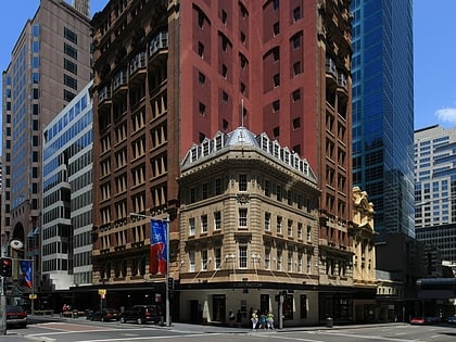
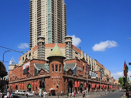
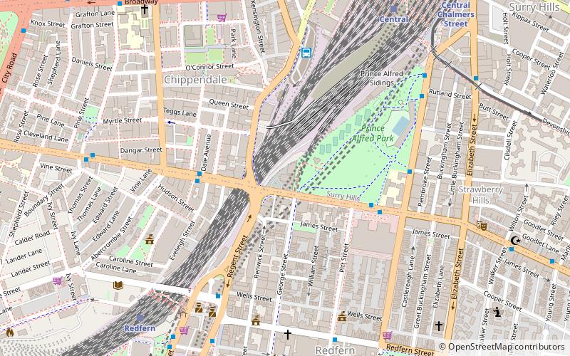
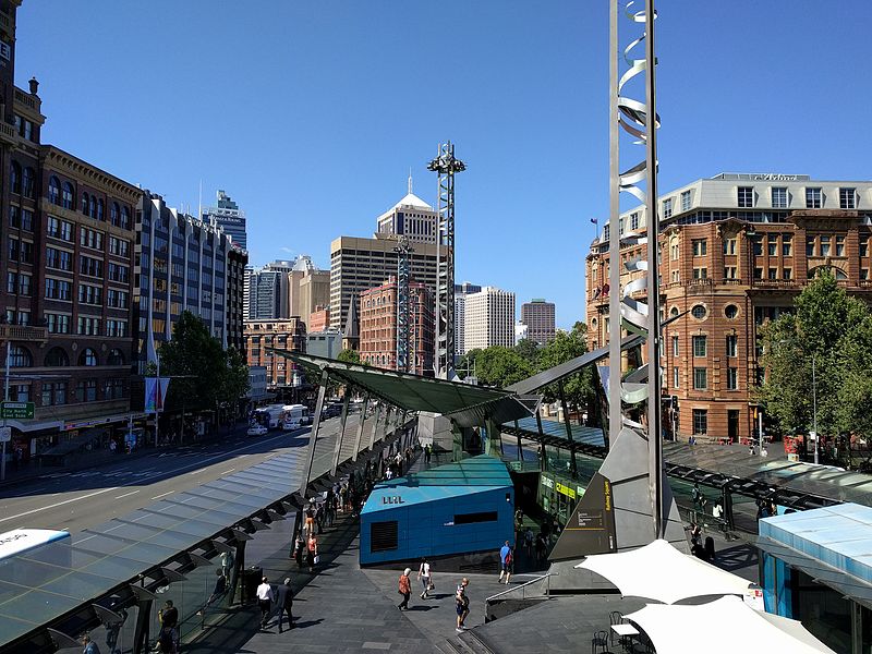
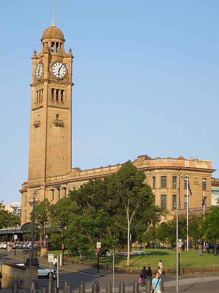
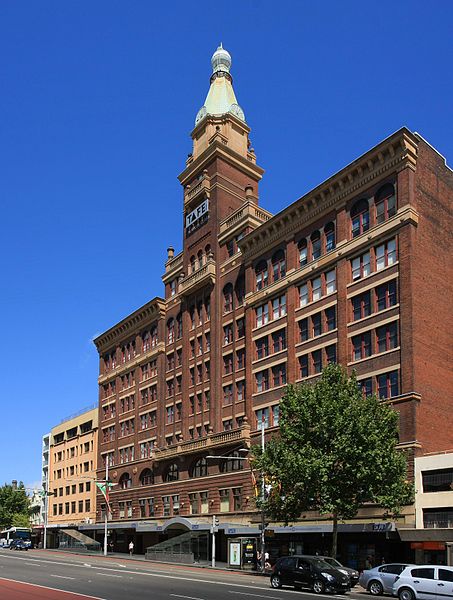
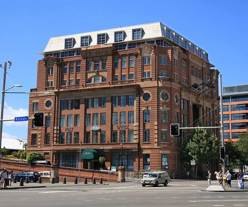
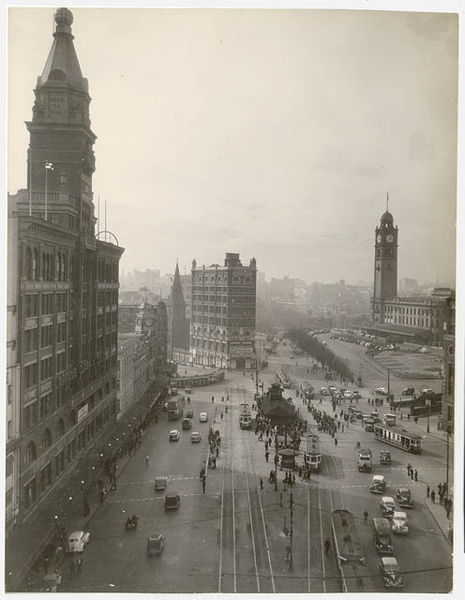
Railway Square is a plaza at the southern end of the Sydney central business district, New South Wales, Australia, formed by the confluence of Broadway, Lee Street, Pitt Street and George Street. The square itself is a very busy intersection and is the site of a large bus terminus. The University of Technology, Central railway station and the now-closed Kent Brewery are adjacent to Railway Square. ()
Address
South Sydney (Haymarket)Sydney
ContactAdd
Social media
Add
Day trips
Railway Square – popular in the area (distance from the attraction)
Nearby attractions include: Castlereagh Street, Central Park, World Square, Paddy's Markets.
Frequently Asked Questions (FAQ)
Which popular attractions are close to Railway Square?
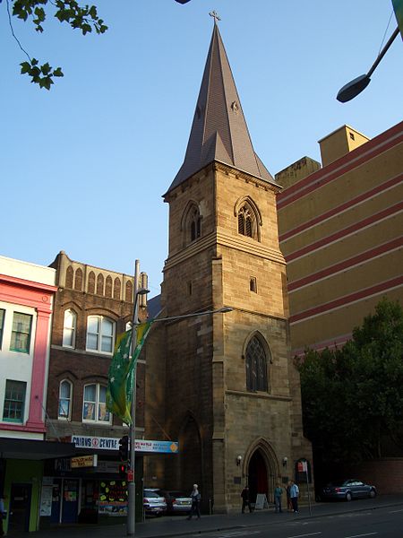
Nearby attractions include Christ Church St Laurence, Sydney (3 min walk), Railway Square road overbridge, Sydney (3 min walk), The Goods Line, Sydney (4 min walk), UTS Library, Sydney (5 min walk).
How to get to Railway Square by public transport?
The nearest stations to Railway Square:
Bus
Train
Light rail
Ferry
Bus
- Stand J, Central Station, Railway Square • Lines: 431, 433, 438 (1 min walk)
- Stand M, Central Station, Railway Square • Lines: 300, 431, 433 (2 min walk)
Train
- Central (4 min walk)
- Museum (15 min walk)
Light rail
- Haymarket • Lines: L2, L3 (4 min walk)
- Central • Lines: L1 (4 min walk)
Ferry
- Pyrmont Bay Wharf • Lines: F4, Ferry (28 min walk)
- Darling Harbour Wharf 1 (30 min walk)



 Sydney Trains
 Sydney Light Rail
 Sydney Ferries