Castlereagh Street, Sydney


Facts and practical information
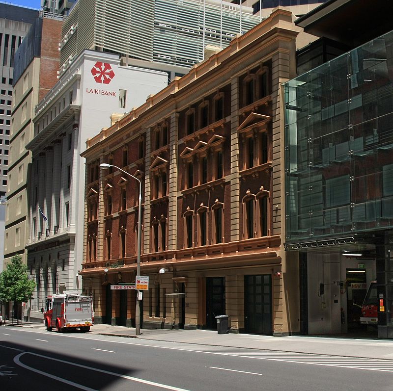
Nestled amidst the bustling heart of Sydney, Australia, Castlereagh Street is a vibrant shopping district that beckons to both high-end fashion aficionados and casual shoppers alike. This iconic thoroughfare is synonymous with luxury, hosting a plethora of prestigious international designer boutiques and elegant local brands. The street's alignment with the global luxury market has positioned it as a premier destination for those seeking the latest in haute couture and fine jewelry.
Castlereagh Street's reputation for exclusivity is complemented by its heritage-listed buildings and sophisticated architecture, which house some of the most influential names in fashion and retail. From the timeless elegance of world-renowned jewelers to the chic collections of top fashion houses, the street offers an unparalleled shopping experience in the city.
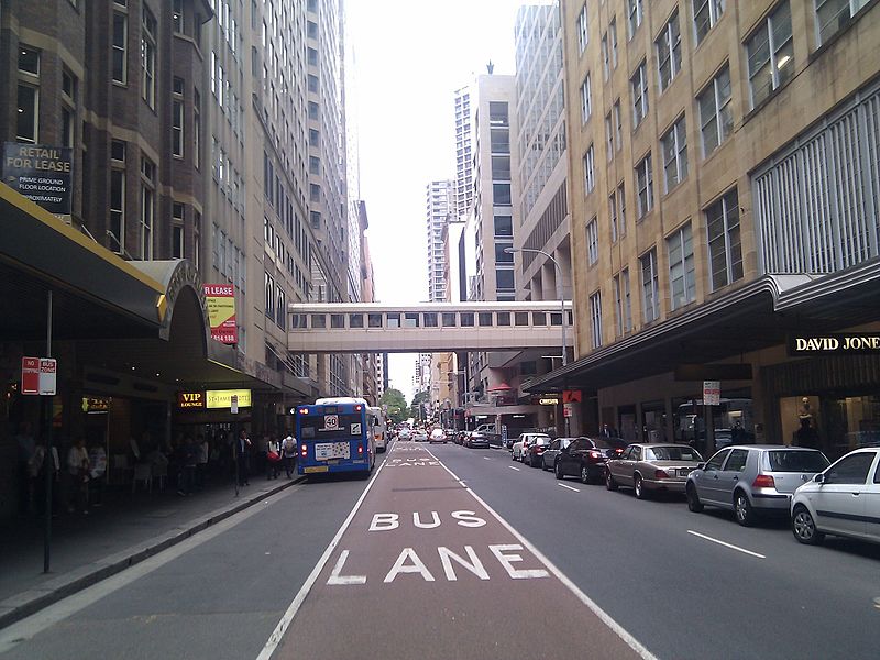
The shopping district is not only a haven for the sartorially inclined but also a bustling hub of activity, where the scent of gourmet coffee from stylish cafes mingles with the allure of high-end merchandise. Amidst the grandeur, visitors will find a selection of premium beauty salons and bespoke tailors, ensuring that their Castlereagh Street encounter caters to every aspect of luxury lifestyle.
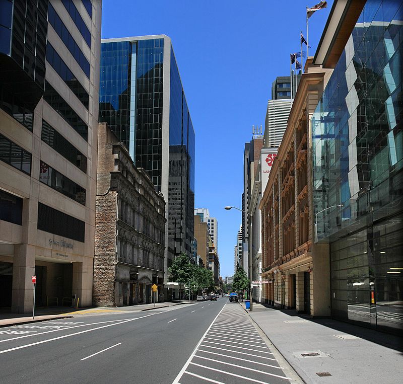
Accessibility is a hallmark of Castlereagh Street, with its central location within Sydney's CBD making it easily reachable by public transport, including buses and trains. The street's proximity to other notable landmarks, such as the Sydney Tower and the historic Queen Victoria Building, allows shoppers to combine their retail therapy with sightseeing, creating a full day of indulgence and exploration.
South Sydney (Chippendale)Sydney
- Bus
- Light rail
- Train
- Ferry
 Bus
Bus
- Calculate routeHay St opp Belmore Park 1 min walk
- Calculate routePitt St opp Barlow St 3 min walk
- Calculate routePitt St at Barlow St 4 min walk
- Calculate routeMuseum Station, Downing Centre, Stand E 6 min walk
- Calculate routeCapitol Square 4 min walk
- Calculate routeCentral 5 min walk
- Calculate routeHaymarket 5 min walk
- Calculate routeChinatown 5 min walk
- Calculate routeCentral 9 min walk
- Calculate routeMuseum 9 min walk
- Calculate routeTown Hall 12 min walk
- Calculate routeSt James 18 min walk
- Calculate routePyrmont Bay Wharf 26 min walk
- Calculate routeDarling Harbour Wharf 1 28 min walk
- Calculate routeBarangaroo, Wharf 1 31 min walk
 Sydney TrainsMaps
 Sydney Light RailMaps
 Sydney Ferries
Castlereagh Street – popular in the area (distance from the attraction)
Nearby attractions include: ANZAC Memorial, World Square, Paddy's Markets, Market City.


Frequently Asked Questions (FAQ)
Which popular attractions are close to Castlereagh Street?
How to get to Castlereagh Street by public transport?
Bus
- Hay St opp Belmore Park • Lines: 431 (1 min walk)
- Pitt St opp Barlow St • Lines: 431, 433 (3 min walk)
Light rail
- Capitol Square • Lines: L1 (4 min walk)
- Central • Lines: L1 (5 min walk)
Train
- Central (9 min walk)
- Museum (9 min walk)
Ferry
- Pyrmont Bay Wharf • Lines: F4, Ferry (26 min walk)
- Darling Harbour Wharf 1 (28 min walk)