Hutt Street, Adelaide

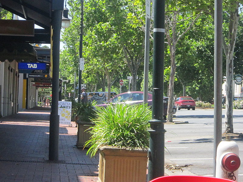
Gallery (2)
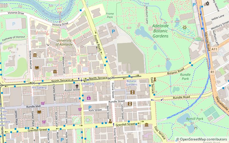
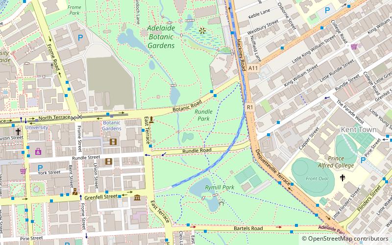
Map
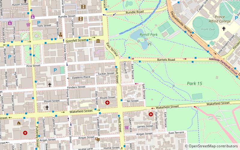
Map
Gallery
Facts and practical information
Hutt Street is the most easterly of the five major north–south roads running through the City of Adelaide. It runs from Pirie Street to South Terrace, from where it continues south as Hutt Road. Hutt Street is named after Sir William Hutt, a British MP who was heavily involved in colonial South Australia. ()
Coordinates: 34°55'34"S, 138°36'43"E
Address
Adelaide (Adelaide City Centre)Adelaide
ContactAdd
Social media
Add
Getting there by public transportation
Public transportation stops near this location
- Bus
- Tram
- Train
 Bus
Bus
- Calculate routeBotanic Gardens 10 min walk
- Calculate routeUniversity 13 min walk
- Calculate routeArt Gallery 17 min walk
- Calculate routePirie Street 18 min walk
- Calculate routeStop F1 Grenfell Street - North side 17 min walk
- Calculate routeStop F1 King William Street - North East side 18 min walk
- Calculate routeStop VS3 Victoria Square - East side 18 min walk
- Calculate routeStop E1 King William Street - East side 18 min walk
- Calculate routeAdelaide 24 min walk
Day trips


Frequently Asked Questions (FAQ)
Which popular attractions are close to Hutt Street?
Nearby attractions include Flinders Street, Adelaide (4 min walk), East Terrace, Adelaide (4 min walk), Tandanya National Aboriginal Cultural Institute, Adelaide (5 min walk), Rymill Park, Adelaide (5 min walk).
How to get to Hutt Street by public transport?
The nearest stations to Hutt Street:
Tram
Bus
Train
Tram
- Botanic Gardens (10 min walk)
- University (13 min walk)
Bus
- Stop F1 Grenfell Street - North side • Lines: 830F (17 min walk)
- Stop F1 King William Street - North East side • Lines: 253X (18 min walk)
Train
- Adelaide (24 min walk)