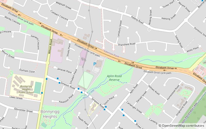
Bonnyrigg Sports Club, Sydney
Map
Facts and practical information
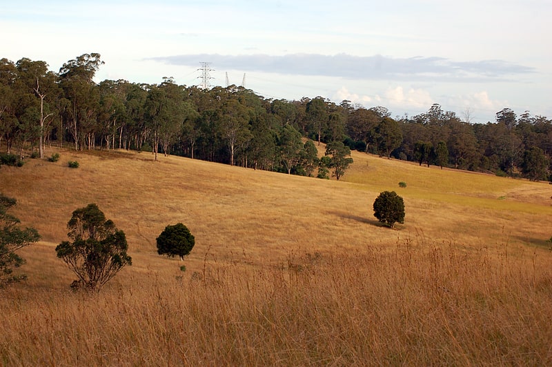
Avala Sports Club is the home of the Avala football club in Bonnyrigg, New South Wales, Australia. ()
Opened: 1979 (47 years ago)Capacity: 10 thous.Coordinates: 33°53'16"S, 150°52'26"E
Address
Fairfield (Bonnyrigg Heights)Sydney
ContactAdd
Social media
Add
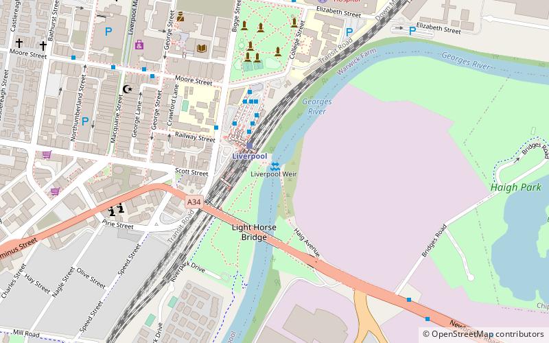
Getting there by public transportation
Public transportation stops near this location
- Bus
 Bus
Bus
- Calculate routeBrown T-Way 13 min walk
- Calculate routeEdensor Road 18 min walk
- Calculate routeBonnyrigg T-Way 20 min walk
- Calculate routeGreen Valley T-Way 22 min walk
Maps Sydney TrainsMaps
 Sydney Light RailMaps
 Sydney Ferries
Sydney TrainsMapsSydney Light RailMapsSydney FerriesDay trips


Frequently Asked Questions (FAQ)
How to get to Bonnyrigg Sports Club by public transport?
The nearest stations to Bonnyrigg Sports Club:
Bus
Bus
- Brown T-Way • Lines: 802, 804, 805, 806, T80 (13 min walk)
- Edensor Road • Lines: 806 (18 min walk)