Maribyrnong, Melbourne

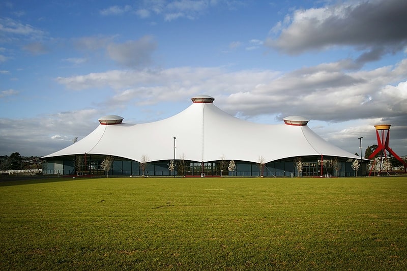
Gallery (2)
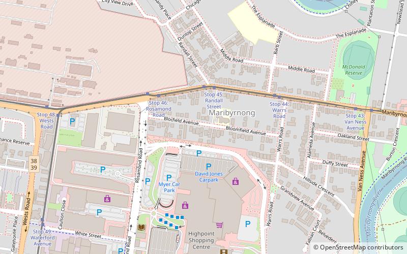
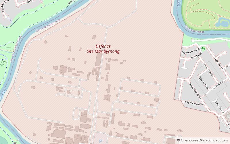
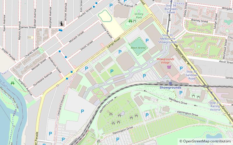
Map
Map
Gallery
Facts and practical information
Area: 2.12 mi²Coordinates: 37°46'12"S, 144°53'20"E
Address
MaribyrnongMelbourne
ContactAdd
Social media
Add
Getting there by public transportation
Public transportation stops near this location
- Bus
- Tram
 Bus
Bus
- Calculate routeStop 45: Randall Street 3 min walk
- Calculate routeStop 46: Rosamond Road 4 min walk
- Calculate routeStop 44: Warrs Road 5 min walk
- Calculate routeHighpoint SC 6 min walk
- Calculate routeHighpoint Shopping Centre 6 min walk
- Calculate route16 Williamson Road 12 min walk
- Calculate routeHampstead Road 14 min walk
Maps Melbourne TramsMaps
 Victoria Trains
Melbourne TramsMapsVictoria TrainsDay trips


Frequently Asked Questions (FAQ)
Which popular attractions are close to Maribyrnong?
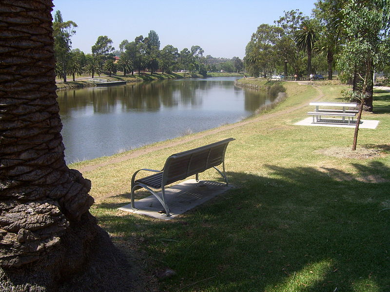
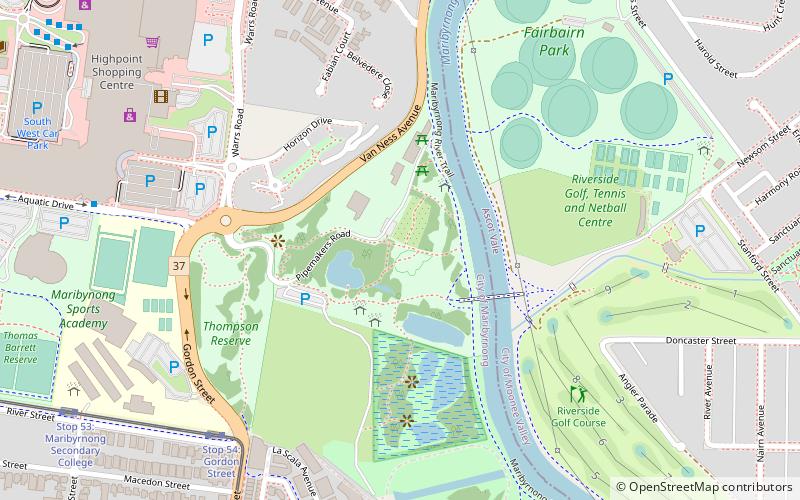
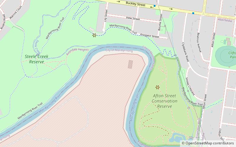
Nearby attractions include Melbourne's Living Museum of the West, Melbourne (13 min walk), Pipemakers Park, Melbourne (15 min walk), Defence Explosive Factory Maribyrnong, Melbourne (17 min walk), Afton Street Conservation Reserve, Melbourne (24 min walk).
How to get to Maribyrnong by public transport?
The nearest stations to Maribyrnong:
Tram
Bus
Tram
- Stop 45: Randall Street • Lines: 57, 57d, 82 (3 min walk)
- Stop 46: Rosamond Road • Lines: 57, 57d, 82 (4 min walk)
Bus
- Highpoint SC (6 min walk)
- Highpoint Shopping Centre • Lines: 215, 223, 406, 407, 408, 409, 468 (6 min walk)