Pipemakers Park, Melbourne
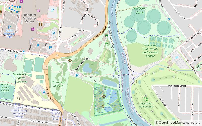
Map
Facts and practical information
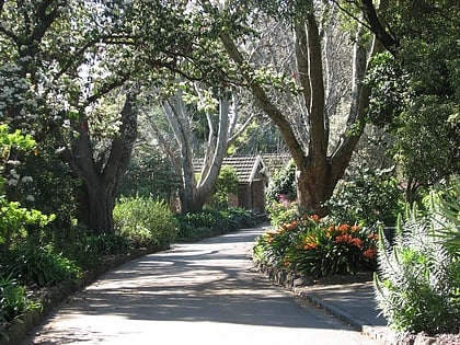
Pipemakers Park is located in the inner western suburbs of Melbourne in the city of Maribyrnong, on the western bank of the Maribyrnong River near Highpoint Shopping Centre. The park was created on the site of a former pipe works and meat preserving company, and retains historic buildings adapted to a museum. and interpreted industrial ruins. ()
Opened: 1984 (42 years ago)Visitors per year: ~750 pplElevation: 23 ft a.s.l.Coordinates: 37°46'36"S, 144°53'42"E
Day trips
Pipemakers Park – popular in the area (distance from the attraction)
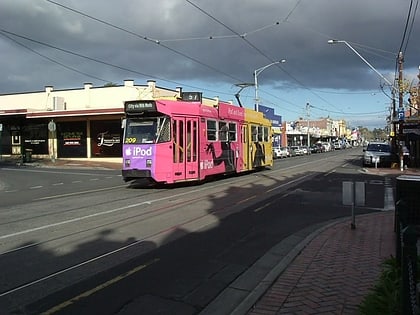
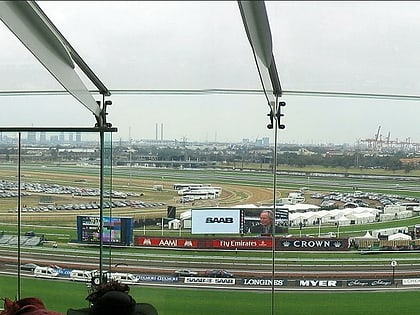
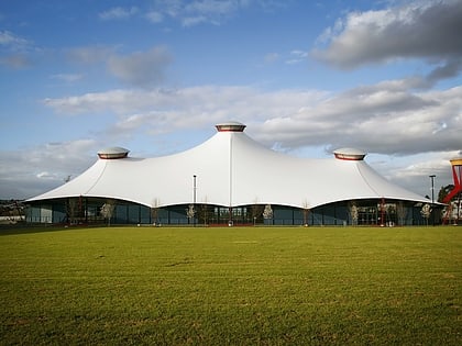
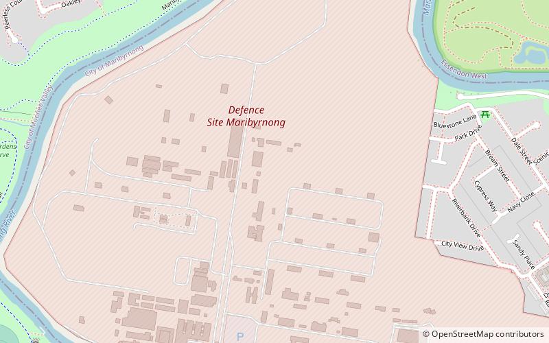
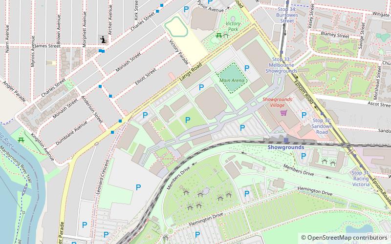
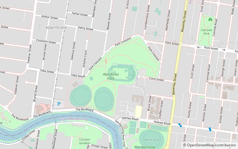
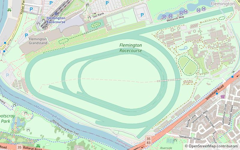
Nearby attractions include: Footscray Park, Melbourne/Ascot Vale, Maribyrnong, Melbourne's Living Museum of the West.
Frequently Asked Questions (FAQ)
Which popular attractions are close to Pipemakers Park?
Nearby attractions include Melbourne's Living Museum of the West, Melbourne (3 min walk), Maribyrnong, Melbourne (15 min walk).
How to get to Pipemakers Park by public transport?
The nearest stations to Pipemakers Park:
Tram
Bus
Train
Tram
- Stop 54: Gordon Street • Lines: 82 (8 min walk)
- Stop 55: Lyric Street • Lines: 82 (11 min walk)
Bus
- Highpoint SC (12 min walk)
- Highpoint Shopping Centre • Lines: 215, 223, 406, 407, 408, 409, 468 (13 min walk)
Train
- Flemington Racecourse (26 min walk)
- Showgrounds (31 min walk)
 Melbourne Trams
 Victoria Trains