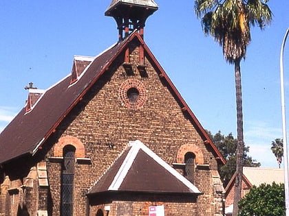
Christ Church, Sydney
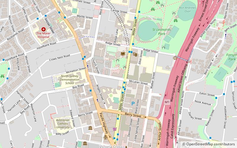
Map
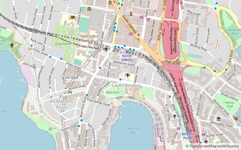
Map

Facts and practical information
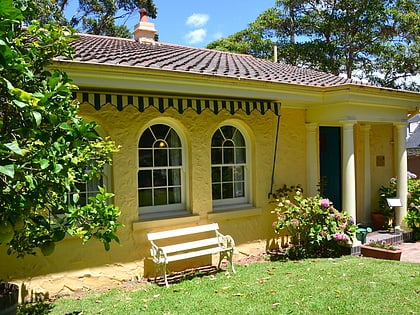
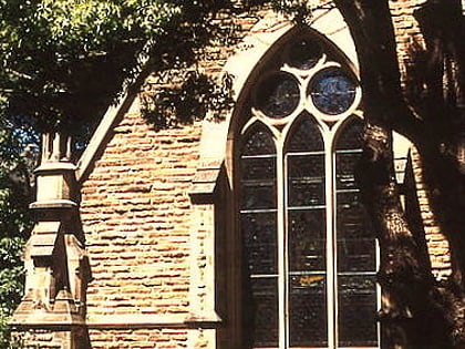
Christ Church, Lavender Bay is an Anglican church in the Sydney suburb of Lavender Bay, New South Wales, Australia, just north of the Sydney Harbour Bridge. The church is listed on the Register of the National Estate. ()
Coordinates: 33°50'33"S, 151°12'25"E
Address
28 Lavender StNorth Sydney (Lavender Bay)Sydney 2060
Contact
+61 2 9923 2052
Social media
Add
Day trips
Christ Church – popular in the area (distance from the attraction)
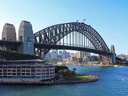
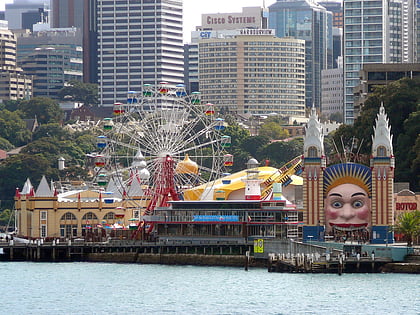
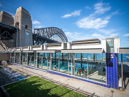
Nearby attractions include: Sydney Harbour Bridge, Luna Park, North Sydney Olympic Pool, North Sydney Oval.
Frequently Asked Questions (FAQ)
Which popular attractions are close to Christ Church?
Nearby attractions include Kailoa, Upper North Shore (7 min walk), North Sydney, Sydney (7 min walk), North Sydney Post Office, Upper North Shore (8 min walk), St. Mary MacKillop, Sydney (8 min walk).
How to get to Christ Church by public transport?
The nearest stations to Christ Church:
Train
Bus
Ferry
Train
- North Sydney (3 min walk)
- Milsons Point (10 min walk)
Bus
- Gas Works Numbers 1 and 2 • Lines: 200, 290 (5 min walk)
- Victoria Cross • Lines: 200, 290 (7 min walk)
Ferry
- McMahons Point Wharf • Lines: F3, F4 (12 min walk)
- Milsons Point Wharf • Lines: F3, F4 (13 min walk)
 Sydney Trains
 Sydney Light Rail
 Sydney Ferries