Balls Head Reserve, Sydney
Map
Gallery
Facts and practical information
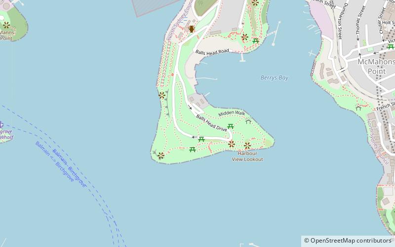
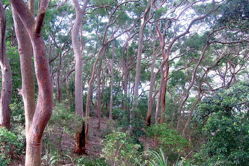
The Balls Head Reserve is a forested headland nature reserve situated on Balls Head in Sydney. The headland is in Port Jackson, 1.5 kilometres west of the Sydney Harbour Bridge, between Berrys Bay to the east and Balls Head Bay to the west. It is named after Lieutenant Henry Lidgbird Ball, a Royal Naval officer who commanded HMS Supply on the First Fleet. The park is accessed via Balls Head Drive, Waverton, New South Wales, Australia. ()
Established: 1926 (100 years ago)Elevation: 102 ft a.s.l.Coordinates: 33°50'47"S, 151°11'42"E
Day trips
Balls Head Reserve – popular in the area (distance from the attraction)
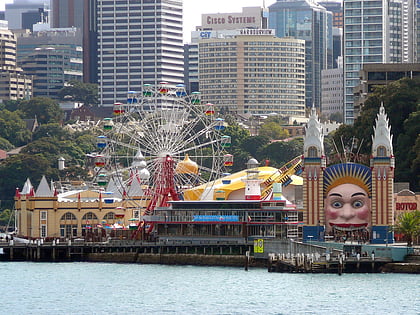
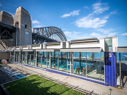
Nearby attractions include: Luna Park, North Sydney Olympic Pool, Iloura Reserve, Don Bank Museum.
Frequently Asked Questions (FAQ)
Which popular attractions are close to Balls Head Reserve?
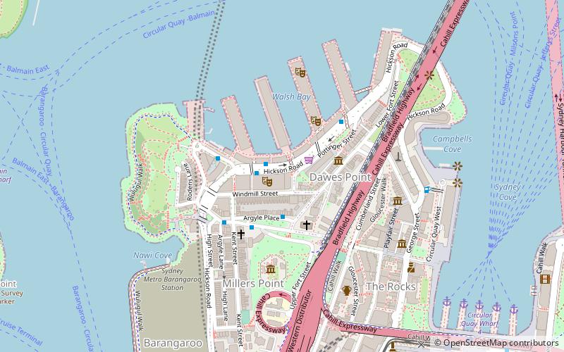
Nearby attractions include MV Cape Don, Sydney (6 min walk), Walsh Bay, Sydney (10 min walk), Goat Island, Sydney (11 min walk), Ballast Point, Sydney (12 min walk).
How to get to Balls Head Reserve by public transport?
The nearest stations to Balls Head Reserve:
Ferry
Train
Bus
Light rail
Ferry
- Birchgrove • Lines: F3 (13 min walk)
- McMahons Point Wharf • Lines: F3, F4 (18 min walk)
Train
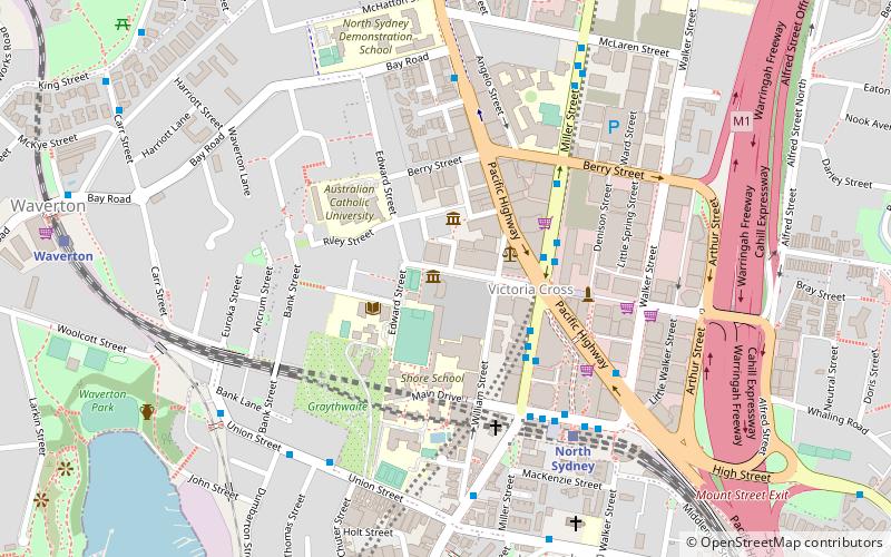
- Waverton (16 min walk)
- North Sydney (21 min walk)
Bus
- Victoria Cross • Lines: 200, 290 (22 min walk)
- Gas Works Numbers 1 and 2 • Lines: 200, 290 (23 min walk)
Light rail
- Circular Quay • Lines: L2, L3 (35 min walk)

 Sydney Trains
 Sydney Light Rail
 Sydney Ferries