Windy Hill, Melbourne
Map

Map

Facts and practical information
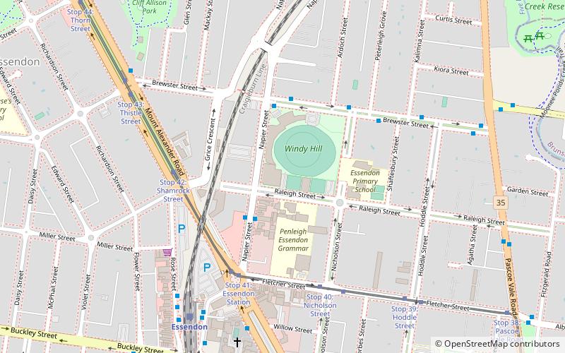
Windy Hill is an Australian rules football and cricket ground located in Napier Street, Essendon, a northwestern suburb of the Melbourne metropolitan area. ()
Opened: 1881 (145 years ago)Capacity: 10 thous.Coordinates: 37°45'9"S, 144°55'8"E
Day trips
Windy Hill – popular in the area (distance from the attraction)
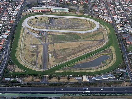
Nearby attractions include: Moonee Valley Racecourse, Queens Park, Melbourne/Moonee Ponds, Clocktower Centre.
Frequently Asked Questions (FAQ)
Which popular attractions are close to Windy Hill?
Nearby attractions include Mount Alexander Road, Melbourne (16 min walk), Queens Park, Melbourne (19 min walk), Melbourne/Moonee Ponds, Melbourne (22 min walk), Clocktower Centre, Melbourne (23 min walk).
How to get to Windy Hill by public transport?
The nearest stations to Windy Hill:
Bus
Tram
Train
Bus
- Raleigh Street/Napier Street • Lines: 469, 503 (3 min walk)
- Napier Street/Brewster Street • Lines: 503 (4 min walk)
Tram
- Stop 42: Grice Crescent • Lines: 59, 59d (5 min walk)
- Stop 41: Essendon Station • Lines: 59, 59d (5 min walk)
Train
- Essendon (8 min walk)
- Glenbervie (10 min walk)

 Melbourne Trams
 Victoria Trains


