Mount Alexander Road, Melbourne
Map
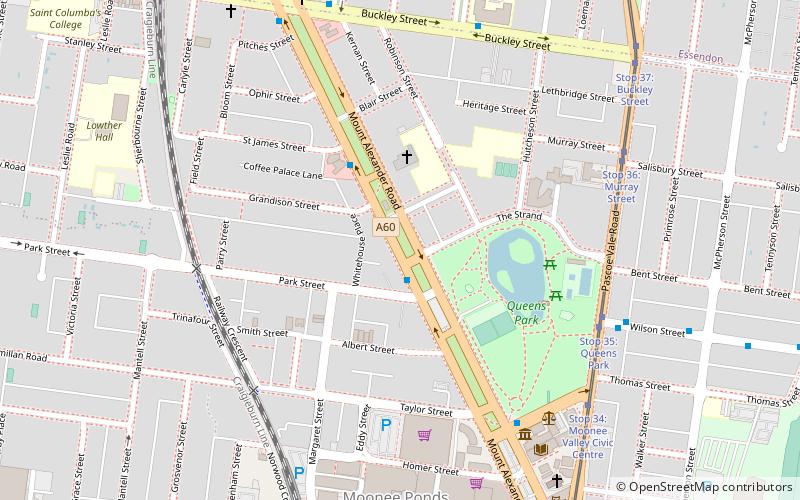
Map

Facts and practical information
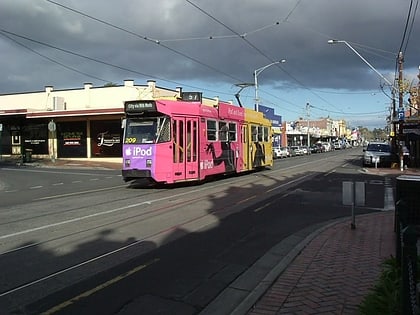
Mount Alexander Road is a major road in Melbourne's inner northern suburbs, connecting the northern edges of the city district to just south of Essendon Airport. It was named after its original destination: the Gold Fields of Mount Alexander, now known as Castlemaine. ()
Coordinates: 37°45'41"S, 144°55'17"E
Address
Moonee Valley (Moonee Ponds)Melbourne
ContactAdd
Social media
Add
Day trips
Mount Alexander Road – popular in the area (distance from the attraction)
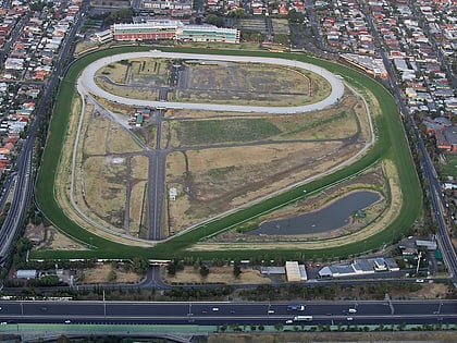
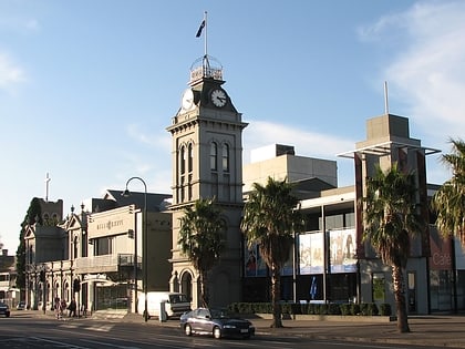
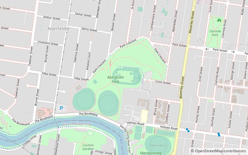
Nearby attractions include: Moonee Valley Racecourse, Queens Park, Melbourne/Moonee Ponds, Clocktower Centre.
Frequently Asked Questions (FAQ)
Which popular attractions are close to Mount Alexander Road?
Nearby attractions include Queens Park, Melbourne (5 min walk), Melbourne/Moonee Ponds, Melbourne (7 min walk), Clocktower Centre, Melbourne (8 min walk).
How to get to Mount Alexander Road by public transport?
The nearest stations to Mount Alexander Road:
Bus
Tram
Train
Bus
- Park Street/Mt Alexander Road • Lines: 476, 477 (1 min walk)
- St James Street/Mt Alexander Road • Lines: 476, 477 (3 min walk)
Tram
- Stop 35: Queens Park • Lines: 59, 59d (7 min walk)
- Stop 36: Murray Street • Lines: 59 (8 min walk)
Train
- Moonee Ponds (9 min walk)
- Essendon (12 min walk)

 Melbourne Trams
 Victoria Trains