Giffin Park, Brisbane

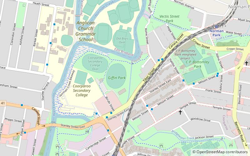
Map
Facts and practical information
Elevation: 23 ft a.s.l.Coordinates: 27°29'5"S, 153°3'22"E
Address
Birubi St, Tiber St & Venice StreetsCoorparooBrisbane 4151
ContactAdd
Social media
Add
Day trips
Giffin Park – popular in the area (distance from the attraction)
Nearby attractions include: The Gabba, New Farm Park, Mowbray Park, St Paul's Anglican Church.
Frequently Asked Questions (FAQ)
Which popular attractions are close to Giffin Park?
Nearby attractions include St Paul's Anglican Church, Brisbane (18 min walk), Coorparoo School of Arts and RSL Memorial Hall, Brisbane (21 min walk), Mowbraytown Presbyterian Church, Brisbane (21 min walk), Mowbray Park, Brisbane (22 min walk).
How to get to Giffin Park by public transport?
The nearest stations to Giffin Park:
Train
Bus
Ferry
Train
- Coorparoo (9 min walk)
- Norman Park (12 min walk)
Bus
- Coorparoo Square - Holdsworth St • Lines: 61 (18 min walk)
- Old Cleveland Road at Coorparoo Primary • Lines: 204 (18 min walk)
Ferry
- New Farm Park Ferry Terminal • Lines: Uqsl-1410 (24 min walk)
- Mowbray Park Ferry Terminal • Lines: Uqsl-1410 (24 min walk)


