Bonython Park, Adelaide
Map
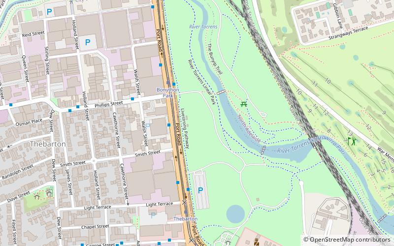
Map

Facts and practical information
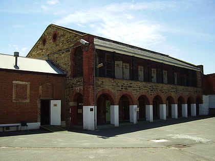
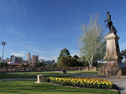
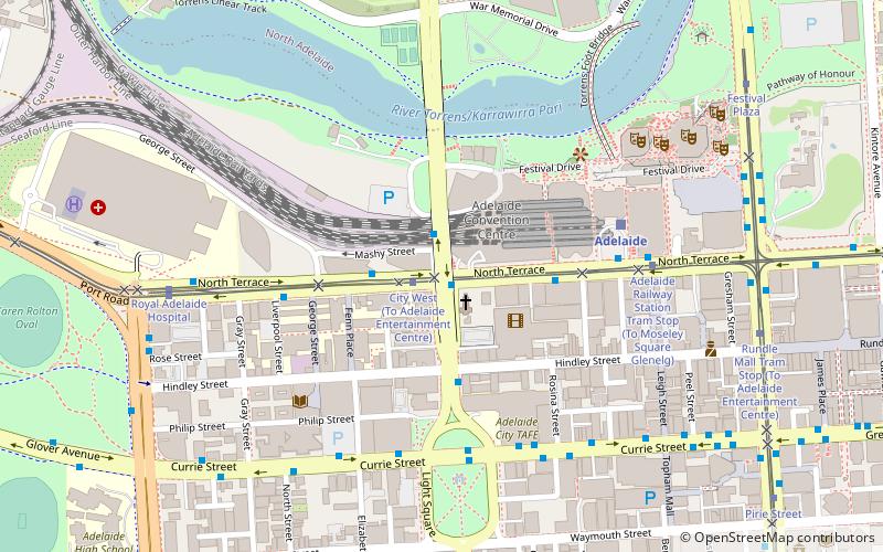
Bonython Park is a 17-hectare park in the north-west Park Lands of the South Australian capital of Adelaide. The park was opened in 1962 and named in honour of prominent South Australian politician and journalist, Sir John Langdon Bonython. It is situated on north-western side of the River Torrens, bordered by Port Road. It is on the opposite side of the river to a golf course, and adjacent to the old Adelaide Gaol and the Police Barracks. ()
Created: 1837Elevation: 85 ft a.s.l.Coordinates: 34°54'52"S, 138°34'44"E
Address
Port RdAdelaide (Adelaide Park Lands)Adelaide 5000
Contact
+61 1300 655 276
Social media
Add
Day trips
Bonython Park – popular in the area (distance from the attraction)
Nearby attractions include: Adelaide Oval, Adelaide Gaol, Montefiore Hill, Ice Arena.
Frequently Asked Questions (FAQ)
Which popular attractions are close to Bonython Park?
Nearby attractions include Adelaide Gaol, Adelaide (11 min walk), Community and Parish of Saint George Thebarton, Adelaide (17 min walk), Bowden, Adelaide (19 min walk), Hindmarsh, Adelaide (19 min walk).
How to get to Bonython Park by public transport?
The nearest stations to Bonython Park:
Tram
Train
Bus
Tram
- Bonython Park (4 min walk)
- Thebarton (6 min walk)
Train
- Bowden (14 min walk)
- North Adelaide (15 min walk)
Bus
- Stop 3 O Connell Street - West side • Lines: 224, 224F, 224X (28 min walk)
- Stop 4 O Connell Street - West side • Lines: 224, 224F, 224X (29 min walk)


