Blackbutt parkrun, Newcastle

Facts and practical information
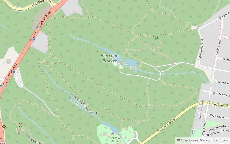
Blackbutt parkrun is a place located in Newcastle (New South Wales state) and belongs to the category of park, relax in park.
It is situated at an altitude of 243 feet, and its geographical coordinates are 32°55'59"S latitude and 151°41'53"E longitude.
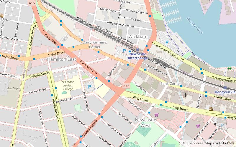
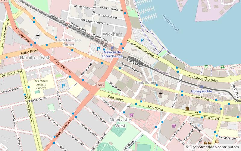
Planning a visit to this place, one can easily and conveniently get there by public transportation. Blackbutt parkrun is a short distance from the following public transport stations: 121 Lookout Road (bus, 10 min walk), Kotara (train, 15 min walk).
Among other places and attractions worth visiting in the area are: Westfield Kotara (shopping, 26 min walk), Tickhole Tunnel (tunnel, 26 min walk), Adamstown Oval (sport venue, 48 min walk).
Blackbutt parkrun – popular in the area (distance from the attraction)
Nearby attractions include: Westfield Kotara, McDonald Jones Stadium, Glenrock Lagoon, Stockland Glendale.
Frequently Asked Questions (FAQ)
How to get to Blackbutt parkrun by public transport?
Bus
- 121 Lookout Road • Lines: 11, 13, 26 (10 min walk)
- Lookout Road before McCaffrey Drive • Lines: 26 (10 min walk)
Train
- Kotara (15 min walk)


