Tickhole Tunnel, Newcastle
Map
Facts and practical information
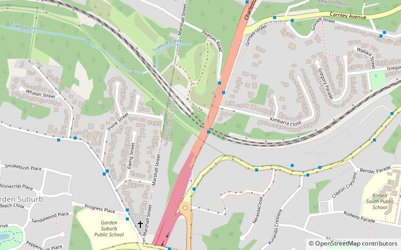
The Tickhole Tunnel, also called the Kotara Railway Tunnel, is a heritage-listed double track railway tunnel that carries the Main Northern railway line beneath the Newcastle Inner City Bypass and is a diversion over the Tickhole Creek. The tunnel is located between Cardiff and Kotara stations in the City of Newcastle local government area of New South Wales, Australia. ()
Coordinates: 32°56'38"S, 151°41'11"E
Address
Newcastle
ContactAdd
Social media
Add
Getting there by public transportation
Public transportation stops near this location
- Bus
- Train
 Bus
Bus
- Calculate routeCharlestown Rd Near Park 1 min walk
- Calculate routeCarnley Av Near Charlestown Rd 9 min walk
- Calculate routeKotara 19 min walk
Day trips


Frequently Asked Questions (FAQ)
How to get to Tickhole Tunnel by public transport?
The nearest stations to Tickhole Tunnel:
Bus
Train
Bus
- Charlestown Rd Near Park • Lines: 11 (1 min walk)
- Carnley Av Near Charlestown Rd • Lines: 26 (9 min walk)
Train
- Kotara (19 min walk)